Balimela
Balimela | |
|---|---|
Town | |
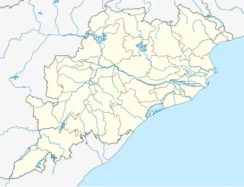 Balimela Location in Odisha, India  Balimela Balimela (India) | |
| Coordinates: 18°15′N 82°08′E / 18.25°N 82.13°E | |
| Country | |
| State | Odisha |
| District | Malkangiri |
| Government | |
| • Type | democracy |
| • Body | Notified area Council |
| Elevation | 418 m (1,371 ft) |
| Population (2001) | |
• Total | 11,500 |
| Languages | |
| • Official | Odia |
| Time zone | UTC+5:30 (IST) |
| Vehicle registration | OD 30 |
| Website | odisha |
Balimela is a town and a notified area committee in Malkangiri district in the Indian state of Odisha. Odia is the local language. Balimela comes under Chitrakonda assembly constituency.
Geography
Balimela is located at 18°15′N 82°08′E / 18.25°N 82.13°E.[1] It has an average elevation of 418 metres (1371 feet). Balimela is surrounded by mountains and prone to rain. In summer, the temperature runs above 45 °C.
Demographics
As of 2001 India census,[2] Balimela had a population of 11,500. Males constitute 52% of the population and females 48%. Balimela has an average literacy rate of 57%, lower than the national average of 59.5%; with 60% of the males and 40% of females literate. 13% of the population is under 6 years of age. The population has increased these days and as per unofficial sources it is more than 18000 now. Around 90% of people are Hindusin Balimela where as out of the total population 10% are Christian and 1% are Muslim.
References
- ^ Falling Rain Genomics, Inc - Balimela
- ^ "Census of India 2001: Data from the 2001 Census, including cities, villages and towns (Provisional)". Census Commission of India. Archived from the original on 16 June 2004. Retrieved 1 November 2008.