Bambuyka
| Bambuyka Бамбуйка | |
|---|---|
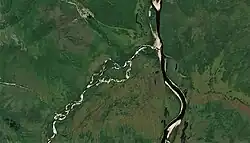 Last stretch of the Bambuyka and its mouth in the Vitim Sentinel-2 image | |
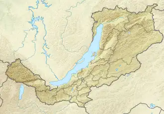 Mouth location in Buryatia, Russia | |
| Location | |
| Country | Russia |
| Federal subject | Buryatia |
| Physical characteristics | |
| Source | Southern Muya Range South Siberian System |
| • coordinates | 55°52′00″N 114°20′13″E / 55.86667°N 114.33694°E |
| Mouth | Vitim |
• coordinates | 55°46′58″N 115°49′43″E / 55.78278°N 115.82861°E |
| Length | 172 km (107 mi) |
| Basin size | 4,170 km2 (1,610 sq mi) |
| Basin features | |
| Progression | Vitim→ Lena→ Laptev Sea |
The Bambuyka (Russian: Бамбуйка) is a river in Buryatia, southern East Siberia, Russia. It is 172 kilometres (107 mi) long, and has a drainage basin of 4,170 square kilometres (1,610 sq mi).[1]
The only inhabited place in the area is Bambuyka, Muysky District, a small hamlet located close to the mouth of the river.[2][3]
Course
The Bambuyka is a left tributary of the Vitim. Its sources are in a small lake close to the southwestern slope of Muisky Gigant, the highest peak of the Southern Muya Range. The river flows first in a SSE direction across mountainous terrain.[3] It bends east close to the east of a sharp bend of the Tsipa and flows roughly in an eastward direction. Then it bends again and flows southeastwards. In its lower course it bends gradually, meandering northeastwards in a floodplain, until it finally meets the left bank of the Vitim 812 kilometres (505 mi) from its mouth in the Lena.[2]
Tributaries
The longest tributaries of the Bambuyka are the 75 kilometres (47 mi) long Bambukoy on the left, as well as the 42 kilometres (26 mi) long Pashkov-Klyuch and the 55 kilometres (34 mi) long Golyube on the right.[1]
See also
References
- ^ a b "Река Бамбуйка in the State Water Register of Russia". textual.ru (in Russian).
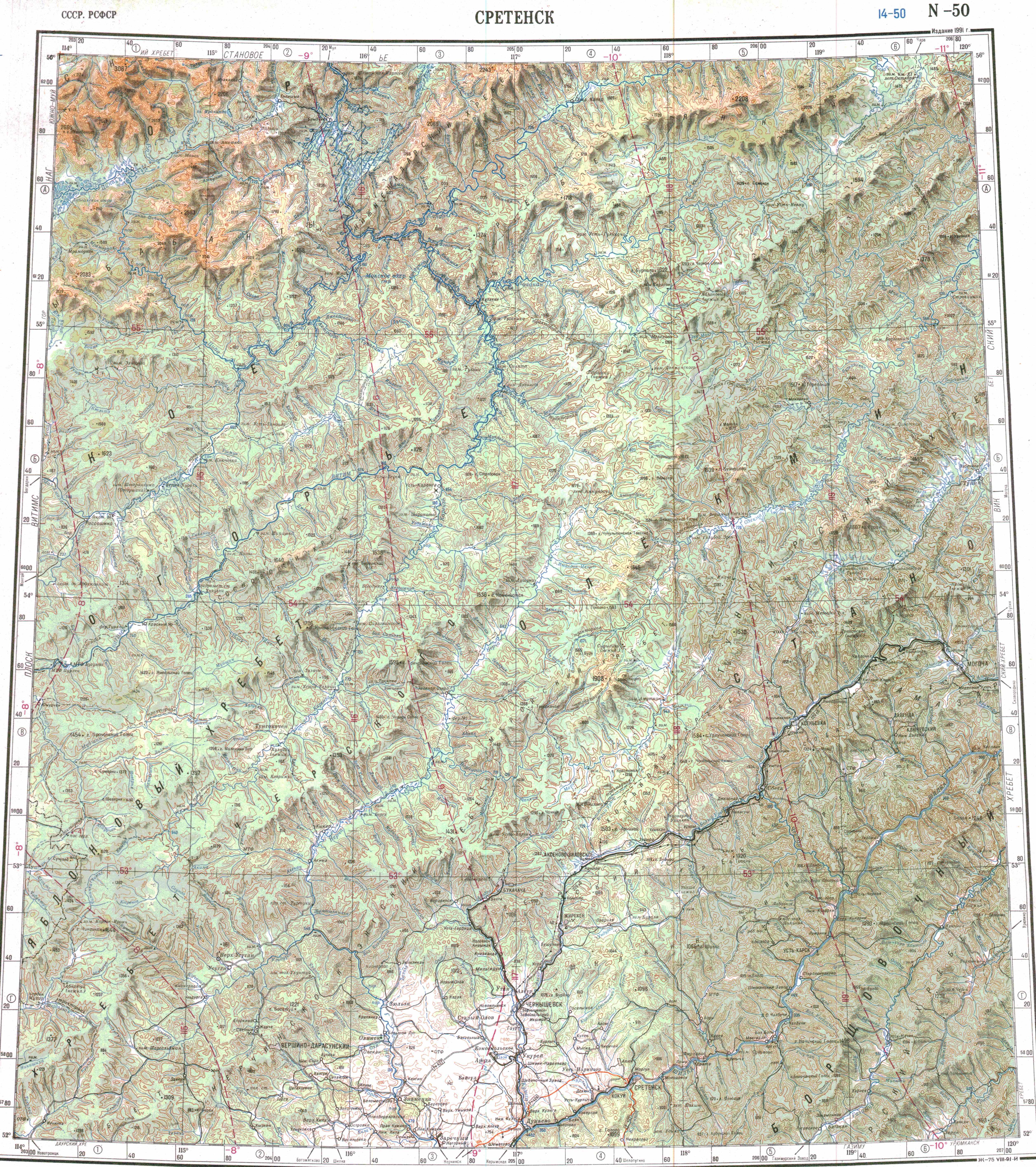
- ^ a b "N-50 Chart (in Russian)". Retrieved 11 July 2023.
- ^ a b Google Earth
External links
 Media related to Bambuyka at Wikimedia Commons