Bananera Airport
Bananera Airport | |||||||||||
|---|---|---|---|---|---|---|---|---|---|---|---|
| Summary | |||||||||||
| Airport type | Private | ||||||||||
| Serves | Morales, Guatemala | ||||||||||
| Elevation AMSL | 753 ft / 230 m | ||||||||||
| Coordinates | 15°28′30″N 88°50′15″W / 15.47500°N 88.83750°W | ||||||||||
| Map | |||||||||||
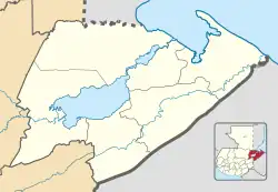 MGBN Location in Izabal Department 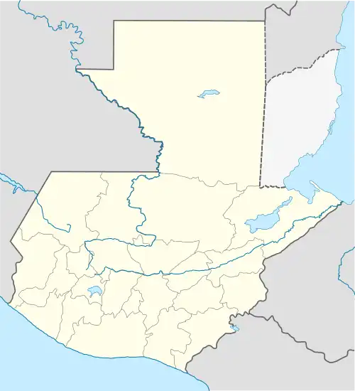 MGBN Location in Guatemala | |||||||||||
| Runways | |||||||||||
| |||||||||||
Bananera Airport (ICAO: MGBN) is an airport serving the city of Morales in Izabal Department, Guatemala.
The runway is within the city. The Puerto Barrios VOR-DME (Ident: IOS) is located 21.4 nautical miles (39.6 km) northeast of the airstrip.[3]
See also
References
- ^ Google Maps - Bananera
- ^ Airport information for MGBN at Great Circle Mapper.
- ^ Puerto Barrios VOR
External links
- OurAirports - Bananera
- OpenStreetMap - Bananera
- SkyVector - Bananera Airport
- FallingRain - Bananera
- Accident history for Bananera Airport at Aviation Safety Network