Barmulloch
Barmulloch
| |
|---|---|
.jpg) Quarrywood Road, and the now-demolished Red Road flats | |
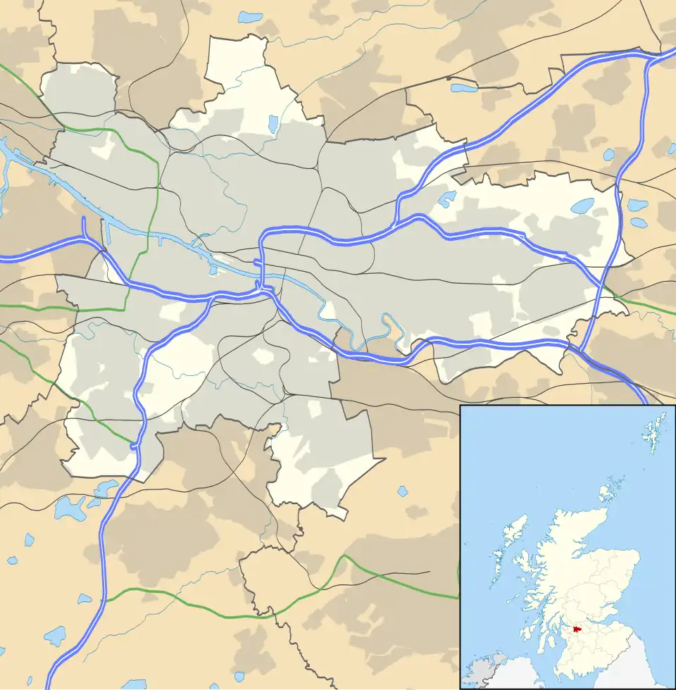 Barmulloch Location within Glasgow | |
| OS grid reference | NS621678 |
| Council area | |
| Lieutenancy area |
|
| Country | Scotland |
| Sovereign state | United Kingdom |
| Post town | GLASGOW |
| Postcode district | G21 |
| Dialling code | 0141 |
| Police | Scotland |
| Fire | Scottish |
| Ambulance | Scottish |
| UK Parliament | |
| Scottish Parliament | |
Barmulloch (/bɑːrˈmʌləx/; Scottish Gaelic: Barr a' Mhullaich) is a suburban area of the city of Glasgow, Scotland.[1] It is situated north of the River Clyde. Formerly rural, it was developed as a post war overspill housing area, largely featuring prefabricated housing. Barmulloch shared the Red Road complex of multi-storey flats with the neighbouring district of Balornock prior to their demolition.
References
- ^ "Barmulloch, Glasgow City - area information, map". OS GetOutside. Retrieved 24 January 2024.