Barrow, Shropshire
| Barrow | |
|---|---|
 Almshouses in Barrow, Shropshire | |
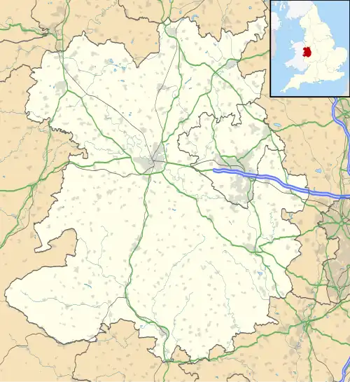 Barrow Location within Shropshire | |
| Population | 680 (2011) |
| OS grid reference | SJ658000 |
| Civil parish |
|
| Unitary authority | |
| Ceremonial county | |
| Region | |
| Country | England |
| Sovereign state | United Kingdom |
| Post town | Broseley |
| Postcode district | TF12 |
| Dialling code | 01952 |
| Police | West Mercia |
| Fire | Shropshire |
| Ambulance | West Midlands |
| UK Parliament | |
Barrow is a hamlet and civil parish in Shropshire, England, some 5 miles south of Telford between Ironbridge and Much Wenlock.
Although Barrow itself consists of a church and just a few dwellings, the parish extends from Broseley to the eastern edge of Much Wenlock; it also includes the hamlets of Willey and Benthall, and the lost settlement of Caughley. According to the 2001 census the parish had a population of 636,[1] increasing at the 2011 Census to 680.[2]

Barrow is a short distance south of the site of a lost mediaeval village, Arlescott. The Jack Mytton Way runs through both Arlescott and Barrow.
See also
Notes and references
- ^ Area: Barrow CP (Parish), Office for National Statistics, 28 April 2004
- ^ "Civil Parish population 2011". Archived from the original on 21 October 2016. Retrieved 22 November 2015.
External links
![]() Media related to Barrow, Shropshire at Wikimedia Commons
Media related to Barrow, Shropshire at Wikimedia Commons