Barstow, Illinois
Barstow, Illinois | |
|---|---|
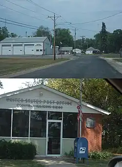 Barstow Fire Station and Post Office | |
 Barstow, Illinois  Barstow, Illinois | |
| Coordinates: 41°31′06″N 90°21′25″W / 41.51833°N 90.35694°W | |
| Country | United States |
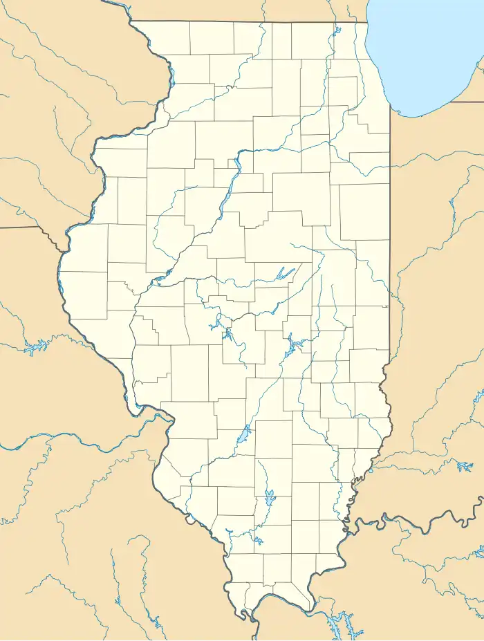
| State | Illinois |
| County | Rock Island |
| Area | |
• Total | 0.11 sq mi (0.28 km2) |
| • Land | 0.11 sq mi (0.28 km2) |
| • Water | 0.00 sq mi (0.00 km2) |
| Elevation | 574 ft (175 m) |
| Population (2020) | |
• Total | 89 |
| • Density | 839.62/sq mi (323.61/km2) |
| Time zone | UTC-6 (Central (CST)) |
| • Summer (DST) | UTC-5 (CDT) |
| Area code | 309 |
| FIPS code | 17-03987 |
| GNIS feature ID | 403936[2] |
Barstow is an unincorporated community in Rock Island County, Illinois, United States. Barstow is east of East Moline and Silvis. Barstow is located on a wye that connects track owned by the BNSF Railway, including the Barstow Subdivision.[3] These tracks were previously owned by the Chicago, Burlington and Quincy Railroad (CB&Q), and a station once existed within the wye.
Barstow was to be the site of a planned hog plant and a Nascar race track, but both plans were shelved after heavy opposition to them.
Demographics
| Census | Pop. | Note | %± |
|---|---|---|---|
| 2020 | 89 | — | |
| U.S. Decennial Census[4] | |||
Barstow first appeared as a census designated place in the 2020 U.S. Census.[5]
2020 census
| Race / Ethnicity (NH = Non-Hispanic) | Pop 2020[6] | % 2020 |
|---|---|---|
| White alone (NH) | 83 | 93.26% |
| Black or African American alone (NH) | 0 | 0.00% |
| Native American or Alaska Native alone (NH) | 0 | 0.00% |
| Asian alone (NH) | 0 | 0.00% |
| Native Hawaiian or Pacific Islander alone (NH) | 0 | 0.00% |
| Other race alone (NH) | 1 | 1.12% |
| Mixed race or Multiracial (NH) | 1 | 1.12% |
| Hispanic or Latino (any race) | 4 | 4.49% |
| Total | 89 | 100.00% |
References
- ^ "2020 U.S. Gazetteer Files". United States Census Bureau. Retrieved March 15, 2022.
- ^ "Barstow". Geographic Names Information System. United States Geological Survey, United States Department of the Interior.
- ^ BNSF Subdivision Map (PDF) (Map). BNSF Railway. September 1, 2011. Retrieved April 5, 2020.
- ^ "Census of Population and Housing". Census.gov. Retrieved June 4, 2016.
- ^ "2020 Geography Changes". United States Census Bureau.
- ^ "P2: Hispanic or Latino, and Not Hispanic or Latino by Race – 2020: DEC Redistricting Data (PL 94-171) – Barstow CDP, Illinois". United States Census Bureau.
External links
| Preceding station | Burlington Route | Following station | ||
|---|---|---|---|---|
| Colona toward St. Louis
|
St. Louis – Savanna | East Moline toward Savanna
| ||
| Terminus | – Earlville | Joslin toward Earlville
| ||
Municipalities and communities of Rock Island County, Illinois, United States | ||
|---|---|---|
| Cities | 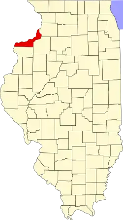 | |
| Villages | ||
| Townships | ||
| CDPs | ||
| Footnotes | ‡This populated place also has portions in an adjacent county or counties | |