Batchelor, Louisiana
Batchelor, Louisiana | |
|---|---|
 Batchelor, Louisiana  Batchelor, Louisiana | |
| Coordinates: 30°50′26″N 91°39′41″W / 30.84056°N 91.66139°W | |
| Country | United States |
| State | Louisiana |
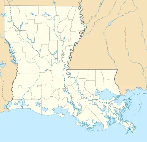
| Parish | Pointe Coupee |
| Elevation | 39 ft (12 m) |
| Time zone | UTC-6 (Central (CST)) |
| • Summer (DST) | UTC-5 (CDT) |
| ZIP code | 70715 |
| Area code | 225 |
| GNIS feature ID | 553356[1] |
| FIPS code | 22-04720 |
Batchelor is an unincorporated community in Pointe Coupee Parish, Louisiana, United States. The community is located at the intersection of Louisiana highways 1 and 419 near the south bank of the Mississippi River, and runs north-northwest up from the village of Morganza. Batchelor has a post office with ZIP code 70715, which opened on July 26, 1902.[2][3] Down in the rural area of Batchelor is Raccourci Old River and Oxbow Lake in the Mississippi River System.
References
- ^ "Batchelor". Geographic Names Information System. United States Geological Survey, United States Department of the Interior.
- ^ United States Postal Service. "USPS - Look Up a ZIP Code". Retrieved May 23, 2015.
- ^ "Postmaster Finder - Post Offices by ZIP Code". United States Postal Service. Archived from the original on October 17, 2020. Retrieved May 23, 2015.
Municipalities and communities of Pointe Coupee Parish, Louisiana, United States | ||
|---|---|---|
| City |  | |
| Towns | ||
| Village | ||
| CDP | ||
| Other communities | ||
| Ghost towns |
| |