Batu Botuk
Batu Botuk | |
|---|---|
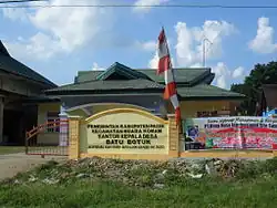 Batu Butok village office | |
 Batu Botuk 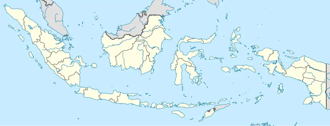 Batu Botuk | |
| Coordinates: 1°42′12.2″S 115°49′10.9″E / 1.703389°S 115.819694°E | |
| Country | |
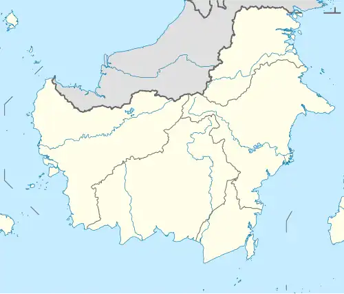
| Province | East Kalimantan |
| Regency | Paser |
| District | Muara Komam |
| Area | |
• Total | 81.30 km2 (31.39 sq mi) |
| Population (2022) | |
• Total | 2,269 |
| • Density | 28/km2 (72/sq mi) |
| Time zone | UTC+8 (WITA) |
| Regional code | 64.01.07.2002 |
Batu Botuk is a village (desa) within the district of Muara Komam, Paser Regency, East Kalimantan, Indonesia.[1] This village has an area of 81.30 km2 and in 2022 was inhabited by 2,269 people. Batu Butok consists of 7 rt (pillar of neighbours).[2]
References
- ^ "Desa dan Kecamatan - Dinas Pemberdayaan Masyarakat dan Desa Kabupaten Paser". Diskominfostaper Kabupaten Paser. Archived from the original on 2024-11-08. Retrieved 2025-06-30.
- ^ BPS, Paser, 2024-09-26, "Muara Komam District in Figures 2024". (Katalog: 1102001.6401070).paserkab.bps.go.id