Baytu
Baytu
Baytoo, Baitu | |
|---|---|
Tehsil | |
| Baytu | |
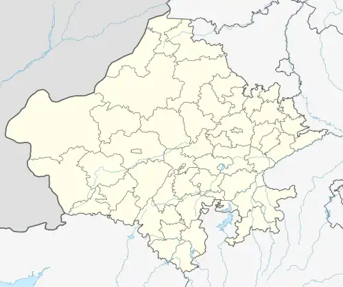 Baytu Location in Rajasthan, India  Baytu Baytu (India) | |
| Coordinates: 25°52′59″N 71°46′0″E / 25.88306°N 71.76667°E | |
| Country | |
| State | Rajasthan |
| District | Balotra |
| Government | |
| • Body | Government of Rajasthan |
| Area | |
• Total | 3,099 km2 (1,197 sq mi) |
| Elevation | 164 m (538 ft) |
| Population | |
• Total | 2,539 |
| • Density | 0.82/km2 (2.1/sq mi) |
| Languages | |
| • Official | Hindi |
| • Local | Rajasthani • Marwadi |
| Time zone | UTC+5:30 (IST) |
| ISO 3166 code | RJ-IN |
| Vehicle registration | RJ-04 |
| Nearest city | Balotra |
| Lok Sabha constituency | Barmer-Jaisalmer-Balotra |
| Civic agency | Gram Panchayat |
Baytu is a tehsil in Balotra district of Rajasthan state of India.[1] It is a tehsil headquarter. It is also spelled as Bayatu, Baitu, or Baytoo.
Baytu is divided into four gram panchayats: Baytu Panji, Baytu Chimanji, Baytu Bhopji, and Baytu Bhimji.
According to the 2001 Census of India, population of the Baytu Bhopji is 2,539, with a male population of 1,322 and female population of 1,217.[2]
References
- ^ "IAF's MIG crashed in Baytu in Barmer district(Now Balotra District)". The Statesman. 28 July 2022.
- ^ "Archived copy". Archived from the original on 3 September 2021. Retrieved 29 November 2017.
{{cite web}}: CS1 maint: archived copy as title (link)