Bedburn
| Bedburn | |
|---|---|
 Bedburn Beck in Autumn, Hamsterley Forest | |
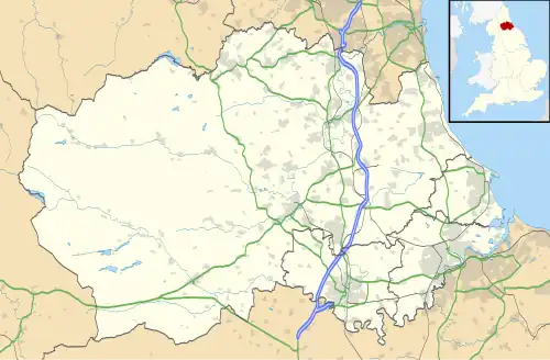 Bedburn Location within County Durham | |
| Population | 171 (2011) |
| OS grid reference | NZ101043 |
| Civil parish | |
| Unitary authority | |
| Ceremonial county | |
| Region | |
| Country | England |
| Sovereign state | United Kingdom |
| Post town | Bishop Auckland |
| Postcode district | DL13 |
| Police | Durham |
| Fire | County Durham and Darlington |
| Ambulance | North East |
| UK Parliament | |
Bedburn is a village in County Durham, in England.[1][2] It is in the civil parish of South Bedburn, near Hamsterley, and Hamsterley Forest. The Bedburn Beck a tributary of the River Wear, flows past the village. The population of this civil parish at the 2011 census was 171.[3]
References
- ^ Ordnance Survey: Landranger map sheet 92 Barnard Castle & Richmond (Teesdale) (Map). Ordnance Survey. 2011. ISBN 9780319228982.
- ^ "Ordnance Survey: 1:50,000 Scale Gazetteer" (csv (download)). www.ordnancesurvey.co.uk. Ordnance Survey. 1 January 2016. Retrieved 30 January 2016.
- ^ "Civil Parish population 2011". Retrieved 1 February 2016.
External links
![]() Media related to Bedburn at Wikimedia Commons
Media related to Bedburn at Wikimedia Commons