Berkley, Colorado
Berkley, Colorado | |
|---|---|
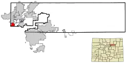 Location of the Berkley CDP in Adams County, Colorado. | |
 Berkley Location of Berkley, Colorado. 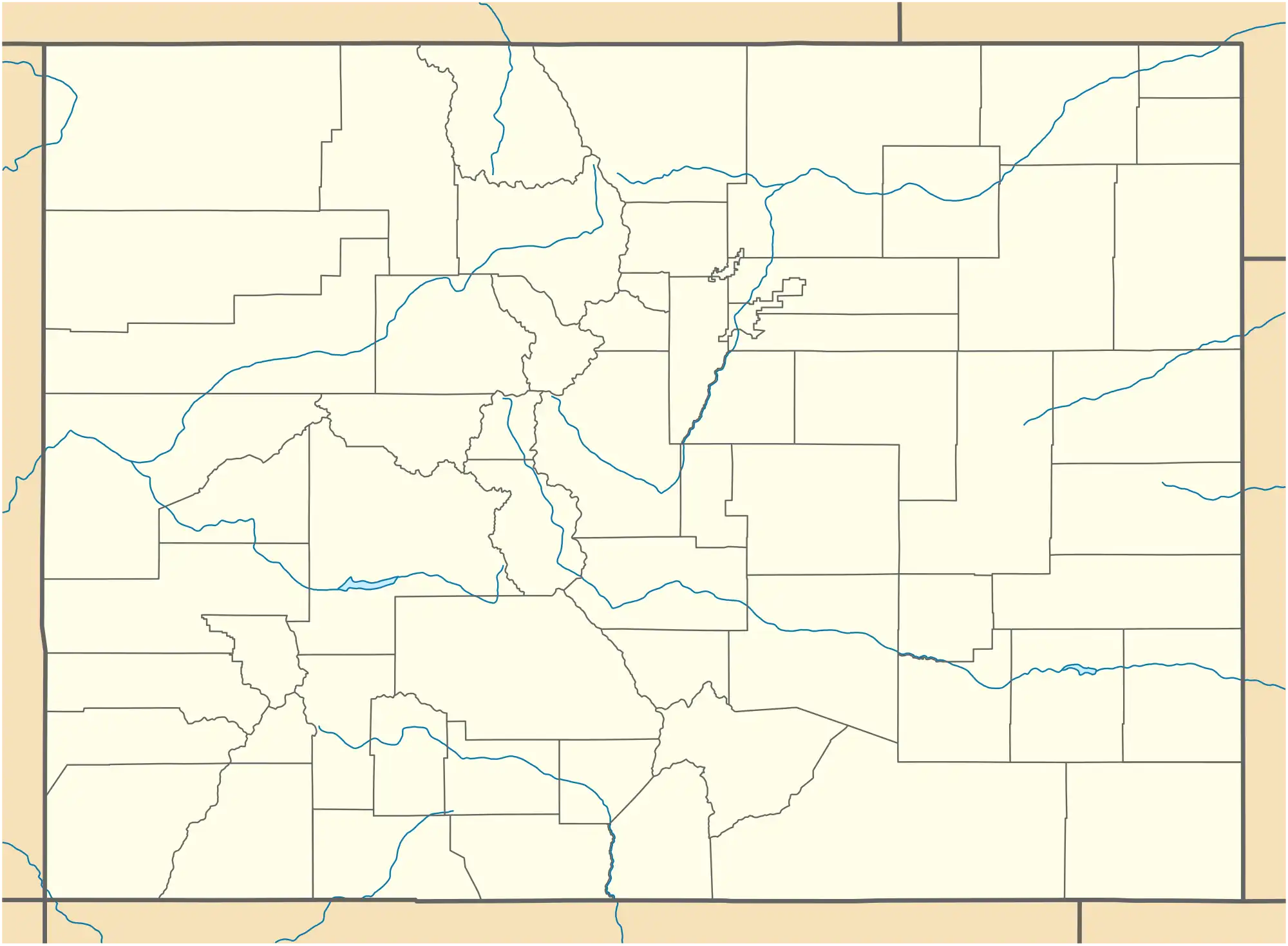 Berkley Berkley (Colorado) | |
| Coordinates: 39°48′16″N 105°01′34″W / 39.8044°N 105.0261°W[2] | |
| Country | United States |
| State | Colorado |
| County | Adams[1] |
| Government | |
| • Type | unincorporated community |
| • Body | Adams County[1] |
| Area | |
• Total | 4.089 sq mi (10.590 km2) |
| • Land | 3.600 sq mi (9.323 km2) |
| • Water | 0.489 sq mi (1.267 km2) |
| Elevation | 5,217 ft (1,590 m) |
| Population (2020)[3] | |
• Total | 12,536 |
| • Density | 3,100/sq mi (1,200/km2) |
| Time zone | UTC−07:00 (MST) |
| • Summer (DST) | UTC−06:00 (MDT) |
| ZIP Code[4] | Denver 80221 |
| Area codes | 303/720/983 |
| GNIS pop ID | 1852837 |
| GNIS CDP ID | 2407830 |
| FIPS code | 08-06172 |
Berkley is an unincorporated community and a census-designated place (CDP) located in southwestern Adams County, Colorado, United States. The CDP is a part of the Denver–Aurora–Lakewood, CO Metropolitan Statistical Area. The population of the Berkley CDP was 12,536 at the United States Census 2020.[3] Berkley never had a post office,[5] but Denver post office 80221 serves the area.[4]
Geography
At the 2020 United States census, the Berkley CDP had an area of 2,617 acres (10.590 km2), including 313 acres (1.267 km2) of water.[3] The Berkley CDP lies immediately north of the Berkeley neighborhood of Denver, Colorado.
Demographics
The United States Census Bureau initially defined the Berkley CDP for the United States Census 2000.
| Year | Pop. | ±% |
|---|---|---|
| 2000 | 10,743 | — |
| 2010 | 11,207 | +4.3% |
| 2020 | 12,536 | +11.9% |
| Source: United States Census Bureau | ||
See also
References
- ^ a b "Colorado Counties". Colorado Department of Local Affairs. Retrieved January 25, 2025.
- ^ a b "Berkley, Colorado". Geographic Names Information System. United States Geological Survey, United States Department of the Interior. Retrieved January 25, 2025.
- ^ a b c d "State of Colorado Census Designated Places - BAS20 - Data as of January 1, 2020". United States Census Bureau. Retrieved November 5, 2021.
- ^ a b "Zip Code 80221 Map and Profile". zipdatamaps.com. 2020. Retrieved December 20, 2020.
- ^ Bauer, William H.; Ozment, James L.; Willard, John H. (1990). Colorado Post Offices 1859–1989. Golden, Colorado: Colorado Railroad Historical Foundation. ISBN 0-918654-42-4.
External links
Wikimedia Commons has media related to Adams County, Colorado.
Municipalities and communities of Adams County, Colorado, United States | ||
|---|---|---|
| Cities |  | |
| Towns | ||
| CDPs | ||
| Unincorporated communities |
| |
| Footnotes | ‡This populated place also has portions in an adjacent county or counties | |