Beronono, Mahabo
Beronono | |
|---|---|
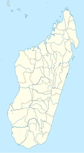 Beronono Location in Madagascar | |
| Coordinates: 20°54′S 45°3′E / 20.900°S 45.050°E | |
| Country | |
| Region | Menabe |
| District | Mahabo |
| Elevation | 310 m (1,020 ft) |
| Population (2001)[2] | |
• Total | 5,000 |
| Time zone | UTC3 (EAT) |
| Postal code | 615 |
Beronono is a rural municipality in Madagascar. It belongs to the district of Mahabo, which is a part of Menabe Region. The population of the commune was estimated to be approximately 5,000 in 2001 commune census.[2]
Only primary schooling is available. The majority 89.5% of the population of the commune are farmers, while an additional 10% receives their livelihood from raising livestock. The most important crop is rice, while other important products are bananas, sugarcane and cassava. Services provide employment for 0.5% of the population.[2]
References
- ^ Estimated based on DEM data from Shuttle Radar Topography Mission
- ^ a b c "ILO census data". Cornell University. 2002. Retrieved 2008-03-10.
Capital: Morondava | ||
| Belo sur Tsiribihina (16) (608) | 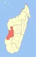 | |
| Mahabo (12) (615) | ||
| Manja (7) (616) | ||
| Miandrivazo (16) (617) | ||
| Morondava (6) (619) |
| |
5 districts; 57 communes | ||
20°54′S 45°3′E / 20.900°S 45.050°E