Berrydale, Florida
Berrydale, Florida | |
|---|---|
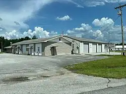 Berrydale Fire Rescue | |
 Berrydale, Florida  Berrydale, Florida | |
| Coordinates: 30°53′58″N 87°00′50″W / 30.89944°N 87.01389°W | |
| Country | United States |
| State | Florida |
| County | Santa Rosa |
| Area | |
• Total | 8.650 sq mi (22.40 km2) |
| • Land | 8.629 sq mi (22.35 km2) |
| • Water | 0.021 sq mi (0.05 km2) |
| Elevation | 239 ft (73 m) |
| Population | |
• Total | 348 |
| • Density | 40/sq mi (16/km2) |
| Time zone | UTC-6 (Central (CST)) |
| • Summer (DST) | UTC-5 (CDT) |
| Area code | 850 |
| GNIS feature ID | 294679[2] |
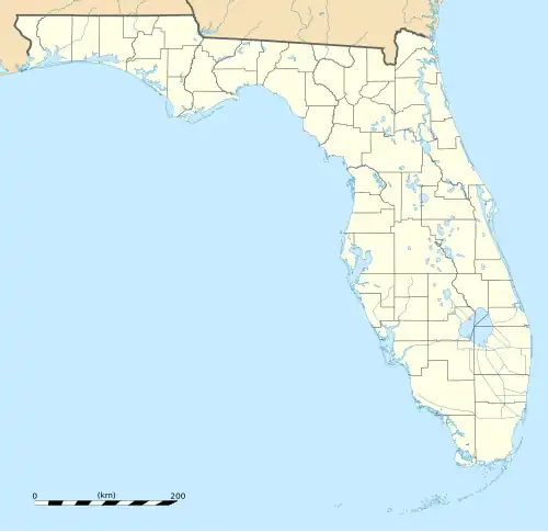
Berrydale is an unincorporated community and census-designated place in Santa Rosa County, Florida, United States. Its population was 348 at the 2020 census, down from 441 at the 2010 census.[1] It is part of the Pensacola—Ferry Pass—Brent, Florida Metropolitan Statistical Area. Florida State Road 4 passes through the community.
Geography
According to the U.S. Census Bureau, the community has an area of 8.650 square miles (22.40 km2); 8.629 square miles (22.35 km2) of its area is land, and 0.021 square miles (0.054 km2) is water.[1]
References
