Bezora, Madagascar
Bezora | |
|---|---|
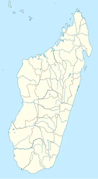 Bezora Map showing location of Bezora | |
| Coordinates: 21°52′00.0″S 47°48′00.0″E / 21.866667°S 47.800000°E | |
| Country | Madagascar |
| Province | Fianarantsoa |
| Area | |
| • Land | 0.2 km2 (0.08 sq mi) |
| Elevation | 109 m (358 ft) |
Bezora is a hamlet in Fianarantsoa Province, Madagascar; the nearest settlement is Sahasinaka. It consists of a road junction, a settlement in the fork of the junction, forest, and fields.[1][2]
References
- ^ "Google Earth". earth.google.com. Retrieved 2020-10-19.
- ^ "Bezora, Madagascar - Geographical Names, map, geographic coordinates". geographic.org. Retrieved 2020-10-19.