Bhingri
Bhingri
भिंगृ, भिङ्ग्री | |
|---|---|
Village Development Committee | |
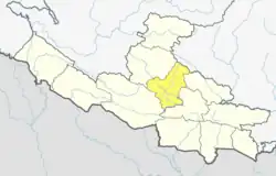
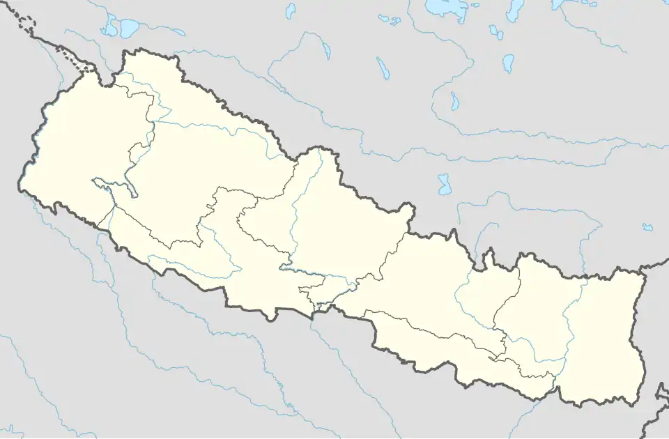 Bhingri Location in Nepal | |
| Coordinates: 28°10′N 82°41′E / 28.16°N 82.69°E | |
| Country | |
| Region | Mid-Western |
| Zone | Rapti Zone |
| District | Pyuthan District |
| VDC | Bhingri |
| Population (2001 Census[1]) | |
• Total | 4,209 |
| 907 households | |
| Time zone | UTC+5:45 (Nepal Time) |
Bhingri is a Village Development Committee in Pyuthan, a Middle Hills district of Rapti Zone, western Nepal.
Villages in VDC
| Ward | Lat. | Lon | Elev. | ||
|---|---|---|---|---|---|
| Barhamure | बाह्रमुरे | 28°09'N | 82°40'E | 1,221m | |
| Bartan | बर्तान | 28°11'N | 82°39'E | 1,370 | |
| Bhingrikot | भिङ्ग्रिकोट | 28°08'N | 82°42'E | 1,205 | |
| Bhingrikot Apchaur | भिङ्ग्रिकोट आँपचौर | 1 | 28°08'N | 82°42'E | 1,289 |
| Dandakharka | डाँडाखर्क | 6 | 28°08'N | 82°40'E | 1,490 |
| Dhanchaur | धनचौर | 28°10'N | 82°42'E | 695 | |
| Gabdhara | गाबधारा | 28°11'N | 82°40'E | 850 | |
| Goganpani | गोगनपानी | 28°08'N | 82°41'E | 1,485 | |
| Jaluki | जलुकी | 28°09'N | 82°43'E | 630 | |
| Keshpur | केशपुर | 28°11'N | 82°41'E | 1,125 | |
| Kimchaur | किमचौर | 9 | 28°11'N | 82°42'E | 690 |
| Kitdhara | किटधारा | 28°10'N | 82°40'E | 1,170 | |
| Kunauta | कुनौटा | 28°08'N | 82°43'E | 690 | |
| Laphe | लाफे | 28°07'N | 82°43'E | 810 | |
| Lungsarkot | लुङसारकोट | 28°10'N | 82°41'E | 950 | |
| Madanpur | मदनपुर | 9 | 28°10'N | 82°42'E | 750 |
| Mathillo Malarani | माथिल्लो मालारानी | 28°10'N | 82°40'E | 1,550 | |
| Neware | नेवारे | 8 | 28°11'N | 82°40'E | 1,192 |
| Pallo Lungsarkot | पल्लो लुङसारकोट | 28°11'N | 82°41'E | 1,051 | |
| Rakabang | राकाबाङ | 28°08'N | 82°41'E | 1,285 | |
| Rumale | रुमाले | 28°08'N | 82°41'E | 1,718 | |
| Sund | सुँड | 28°09'N | 82°43'E | 690 | |
| Swargadwari | स्वर्गद्वारी | 28°07'N | 82°41'E | 2,070 | |
| Tallo Bhingri | तल्लो भिङ्ग्री | 28°09'N | 82°43'E | 690 | |
| Tamdhar | तामधार | 28°09'N | 82°40'E | 1,245 | |
| Upallo Bhingri | उपल्लो भिङ्ग्री | 3 | 28°09'N | 82°42'E | 750 |
References
- ^ "Nepal Census 2001". Nepal's Village Development Committees. Digital Himalaya. Archived from the original on 12 October 2008. Retrieved 21 September 2008.
- ^ "Index of Geographical Names of Nepal, Volume IV: Mid Western Development Region, List of Settlements, Pyuthan" (PDF). Government of Nepal, National Geographic Information Infrastructure Program. Archived from the original (PDF) on 2011-07-24. Retrieved 2011-03-12.