Bhirawati
Bhirawati | |
|---|---|
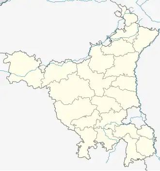 Bhirawati Location in Haryana, India  Bhirawati Bhirawati (India) | |
| Coordinates: 28°14′38″N 77°04′43″E / 28.2438898°N 77.0785069°E | |
| Country | India |
| State | Haryana |
| District | Nuh |
| Elevation | 187 m (614 ft) |
| Population (2011) | |
• Total | 1,424 |
| Languages | |
| • Official | Hindi |
| Time zone | UTC+5:30 (IST) |
| PIN | 122103
Vehicle registration plate = HR-93 |
| ISO 3166 code | IN-HR |
| Website | mewat |
Bhirawati is a village in Ferozepur Jhirka sub-division of Nuh district of Haryana state of India.[1][2][3][4] It lies in the Mewat region of Delhi NCR and Delhi–Mumbai Industrial Corridor. It lies 10 km east of Sohna adjacent to the NH 919 and Delhi–Mumbai Expressway.
Demography
It had a population of 1,424 as per 2011 census of India.[4]
Administration
The village local governance is managed by the elected panchayat headed by the Sarpanch.[4]
See also
References
- ^ "Atal Seva Kendras, Haryana". Haryana, India: Government of Haryana. Retrieved 14 January 2019.
- ^ "Town and Country Planning Department, Haryana". tcpharyana.gov.in. Haryana: Government of Haryana. Retrieved 14 January 2019.
- ^ "List of Habitations (Created By IMIS Users)". indiawater.gov.in. India: Ministry of Drinking Water and Sanitation. Government of India. Retrieved 14 January 2019.
- ^ a b c "Bhirawati". 2011 Census of India. Government of India. Archived from the original on 16 January 2019. Retrieved 16 January 2019.