Bhirkot, Tanahu
Bhirkot, Tanahu
भीरकोट | |
|---|---|
 Bhirkot, Tanahu Location in Nepal 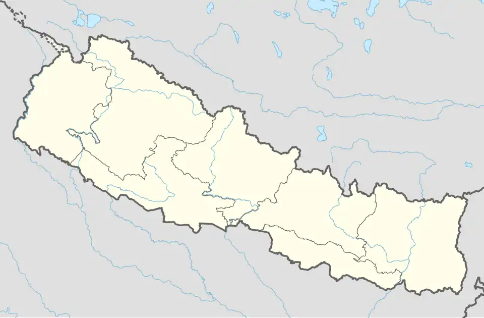 Bhirkot, Tanahu Bhirkot, Tanahu (Nepal) | |
| Coordinates: 27°51′35″N 84°13′51″E / 27.85972°N 84.23083°E | |
| Country | |
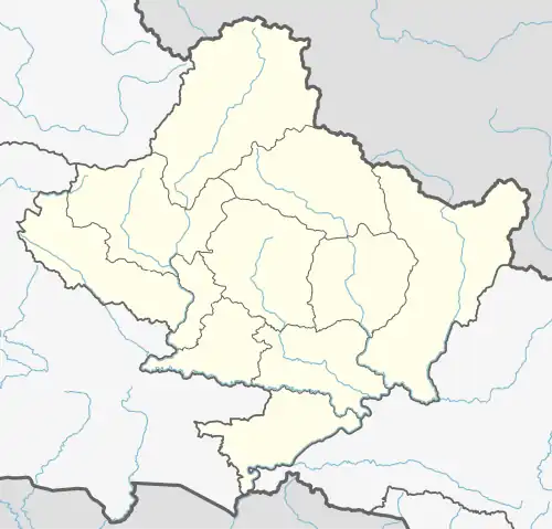
| Zone | Gandaki Zone |
| District | Tanahu District |
| Population (2011) | |
• Total | 5,014 |
| Time zone | UTC+5:45 (Nepal Time) |
Bhirkot is a village development committee in Tanahu District in the Gandaki Zone of central Nepal. At the time of the 2011 Nepal census it had a population of 5014 people living in 1146 individual households.[1] It lies northwest of Baidi. It lies on a steep mountain top overlooking a deep valley in which the Kali River passes. The village contains a health camp.
References
- ^ "Central Bureau of Statistics 2014" (PDF), National Population and Housing Census 2011, Tanahun, archived from the original (PDF) on 27 October 2014, retrieved 22 April 2015.
External links
Headquarters: Damauli (part of Vyas Municipality) | ||
| Municipalities | 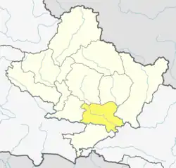 | |
| Rural municipalities | ||
| Former VDCs |
| |