Bikihakola
Bikihakola | |
|---|---|
Census Town | |
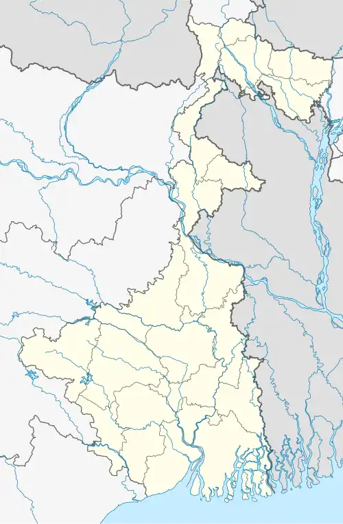 Bikihakola Location in West Bengal, India  Bikihakola Bikihakola (India) | |
| Coordinates: 22°33′N 88°09′E / 22.55°N 88.15°E | |
| Country | |
| State | West Bengal |
| District | Howrah |
| Population (2011) | |
• Total | 14,540 |
| Languages | |
| • Official | Bengali, English |
| Time zone | UTC+5:30 (IST) |
| PIN | 711322 |
| Vehicle registration | WB |
| Lok Sabha constituency | Howrah |
| Vidhan Sabha constituency | Panchla |
| Website | howrah |
Bikihakola is a census town in Panchla CD Block of Howrah Sadar subdivision in Howrah district in the state of West Bengal, India.[1]
Geography
Bikihakola is located at 22°33′28″N 88°09′00″E / 22.55775°N 88.15003°E
Demographics
As per 2011 Census of India Bikihakola had a total population of 14,540 of which 7,517 (52%) were males and 7,023 (48%) were females. Population below 6 years was 1,749. The total number of literates in Bikihakola was 10,557 (82.53% of the population over 6 years).[2]
As of 2001 India census,[3] Bikihakola had a population of 11,901. Males constitute 52% of the population and females 48%. Bikihakola has an average literacy rate of 66%, higher than the national average of 59.5%; with male literacy of 72% and female literacy of 59%. 14% of the population is under 6 years of age.
References
- ^ "District-wise list of stautory towns". Census Commission of India. Archived from the original on 21 July 2011. Retrieved 28 January 2009.
- ^ "C.D. Block Wise Primary Census Abstract Data(PCA)". 2011 census: West Bengal – District-wise CD Blocks. Registrar General and Census Commissioner, India. Archived from the original on 26 March 2015. Retrieved 11 May 2016.
- ^ "Census of India 2001: Data from the 2001 Census, including cities, villages and towns (Provisional)". Census Commission of India. Archived from the original on 16 June 2004. Retrieved 1 November 2008.
| Cities, municipal and census towns | |
|---|---|
| Locations other than cities and towns | |
| Villages | |
| Related topics |
|