Biliya
Biliya | |
|---|---|
Village | |
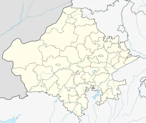 Biliya Location in Rajasthan, India  Biliya Biliya (India) | |
| Coordinates: 24°31′N 73°44′E / 24.51°N 73.73°E | |
| Country | |
| State | Rajasthan |
| District | Udaipur |
| Area | |
• Total | 2.4876 km2 (0.9605 sq mi) |
| Population (2011) | |
• Total | 350 |
| • Density | 140/km2 (360/sq mi) |
| Languages | |
| • Official | Hindi, Mewari |
| Time zone | UTC+5:30 (IST) |
| PIN | 313003 |
| Vehicle registration | RJ-27 |
| Nearest city | Udaipur |
| Lok Sabha constituency | Udaipur |
Biliya is a village in Udaipur district in the Indian state of Rajasthan. The district headquarters of the village is Udaipur.[1] It is 13 kilometers away from the Udaipur district headquarters. As per Population Census 2011, the total population of Biliya is 350. Males constitute 49% of the population and females 51%. The literacy rate of Biliya village is 60.0% as per 2011 census.
References
- ^ "मुख्यमंत्री ने बिलिया गांव में देखी आवासीय परियोजना, यहां 120 विस्थापित परिवारों का किया है पुनर्वास". www.patrika.com (in Hindi). Retrieved 17 July 2019.