Bishop's Mitre (Labrador)
| Bishop's Mitre | |
|---|---|
 Bishop's Mitre | |
| Highest point | |
| Elevation | 1,087 m (3,566 ft)peakvisor |
| Prominence | 294 m (965 ft) |
| Coordinates | 57°53′46″N 61°58′59″W / 57.89611°N 61.98306°W |
| Geography | |
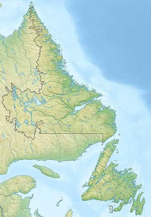 Bishop's Mitre Location in Labrador | |
| Location | Labrador, Canada |
| Parent range | Kaumajet Mountains |
| Topo map | NTS 14F13 Mugford Harbour |
| Climbing | |
| Easiest route | class 3 scramble |
Bishop's Mitre is a mountain located 3 km (9,843 ft) east of Brave Mountain on the northern coast of Labrador in the Kaumajet Mountains. Noteworthy for the river carved down its middle, its appearance is like a steep tower, which lies on the north point of Grimmington Island, between Seal Bight and Cod Bag Harbour.[1]
References
- ^ Bishop's Mitre on peakvisor website
Mountains of Newfoundland and Labrador | |||||
|---|---|---|---|---|---|
| Kaumajet Mountains | |||||
| Long Range Mountains | |||||
| Torngat Mountains |
| ||||
| Others | |||||