Blankenheim, Saxony-Anhalt
Blankenheim | |
|---|---|
 Coat of arms | |
Location of Blankenheim within Mansfeld-Südharz district | |
 Blankenheim 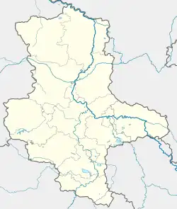 Blankenheim | |
| Coordinates: 51°30′27″N 11°25′51″E / 51.50750°N 11.43083°E | |
| Country | Germany |
| State | Saxony-Anhalt |
| District | Mansfeld-Südharz |
| Municipal assoc. | Mansfelder Grund-Helbra |
| Government | |
| • Mayor (2020–27) | André Strobach[1] (FDP) |
| Area | |
• Total | 14.85 km2 (5.73 sq mi) |
| Elevation | 280 m (920 ft) |
| Population (2024-12-31)[2] | |
• Total | 1,138 |
| • Density | 77/km2 (200/sq mi) |
| Time zone | UTC+01:00 (CET) |
| • Summer (DST) | UTC+02:00 (CEST) |
| Postal codes | 06528 |
| Dialling codes | 034659 |
| Vehicle registration | MSH, EIL, HET, ML, SGH |
Blankenheim (German pronunciation: [ˈblaŋkn̩ˌhaɪm]) is a municipality in the Mansfeld-Südharz district, Saxony-Anhalt, Germany.
History
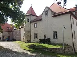
The earliest known documented mention of Blankenheim dates from 1181. The development of the place was closely connected to the history of the Premonstratenian monastery Rode in the modern-day Klosterrode.
References
Towns and municipalities in the district of Mansfeld-Südharz | ||
|---|---|---|
 | ||