Blatnica Valley
| Blatnica | |
|---|---|
| Blatnická dolina | |
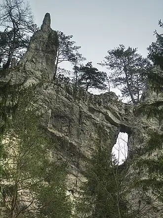 Rock window in the Blatnica Valley | |
 Blatnica Juriašovo crossing | |
| Length | 8 km (5.0 mi) |
| Geography | |
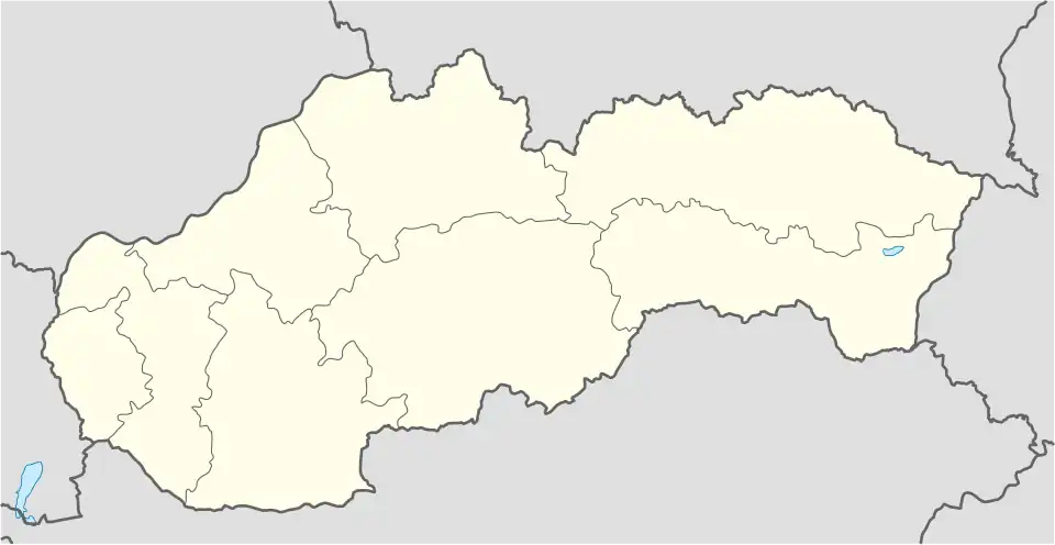
| Country | Slovakia |
| State/Province | Žilina |
| District | Martin |
| Coordinates | 48°54′22″N 18°57′47″E / 48.90607°N 18.96319°E |
| Mountain range | Greater Fatra |
| River | Blatnica Stream |
The Blatnica Valley (Slovak: Blatnická dolina) is a karst valley in the Greater Fatra Range in Slovakia. It is 8km long.[1]
It is accessible from the village of Blatnica along a dirt road. Most of the valley is densely forested, in places with views at the surrounding limestone and dolomite strata. The best-known part of the valley is the rock window at its lower part. Ostrá and Drieňok mountains can be climbed from the valley bottom.
References
- ^ "Blatnická dolina" [Blatnica Valley]. www.gaderskadolina.sk (in Slovak). Retrieved 25 June 2025.