Blue Hills, Queensland
| Blue Hills Queensland | |||||||||||||||
|---|---|---|---|---|---|---|---|---|---|---|---|---|---|---|---|
 Blue Hills | |||||||||||||||
| Coordinates | 19°14′57″S 146°29′45″E / 19.2491°S 146.4958°E | ||||||||||||||
| Postcode(s) | 4818 | ||||||||||||||
| Area | 31.1 km2 (12.0 sq mi) | ||||||||||||||
| Time zone | AEST (UTC+10:00) | ||||||||||||||
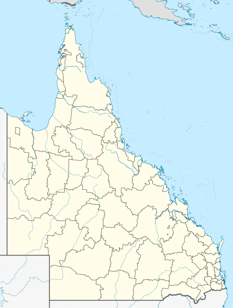
| Location |
| ||||||||||||||
| LGA(s) | City of Townsville | ||||||||||||||
| State electorate(s) | Hinchinbrook | ||||||||||||||
| Federal division(s) | Herbert | ||||||||||||||
| |||||||||||||||
Blue Hills is a rural locality in the City of Townsville, Queensland, Australia.[1]
Geography
The land use is grazing on native vegetation.[2]
History
The locality was officially named and bounded on 27 July 1991.[1]
Demographics
The population of Blue Hills is not separately reported in the Australian census. It is included in the census data for its neighbouring locality Bluewater.[3][4]
Education
There are no schools in Blue Hills. The nearest government primary school is Bluewater State School in Bluewater to the north-east. The nearest government secondary school is Northern Beaches State High School in Deeragun in Townsville.[2]
References
- ^ a b "Blue Hills – locality in City of Townsville (entry 44572)". Queensland Place Names. Queensland Government. Retrieved 16 November 2018.
- ^ a b "Queensland Globe". State of Queensland. Retrieved 26 August 2023.
- ^ Australian Bureau of Statistics (27 June 2017). "Bluewater (SSC)". 2016 Census QuickStats. Retrieved 20 October 2018.
- ^ Australian Bureau of Statistics (28 June 2022). "Bluewater (SAL)". 2021 Census QuickStats. Retrieved 28 February 2023.