Blue Mountain (California)
| Blue Mountain | |
|---|---|
 Blue Mountain  Blue Mountain Blue Mountain (the United States) | |
| Highest point | |
| Elevation | 8,772 ft (2,674 m) NGVD 29[1] |
| Prominence | 12 ft (3.7 m)[1] |
| Coordinates | 38°50′54″N 120°11′52″W / 38.8482412°N 120.1976891°W[2] |
| Geography | |
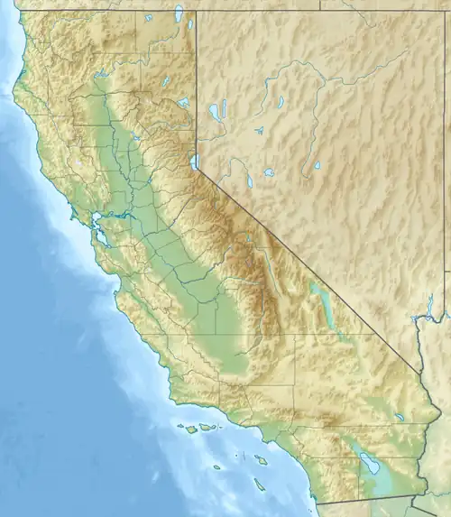
| Location | El Dorado County, California, U.S. |
| Parent range | Crystal Range, Sierra Nevada |
| Topo map | USGS Pyramid Peak |
| Climbing | |
| Easiest route | Hike, class 1-2 |
Blue Mountain is a mountain in the Crystal Range, a subrange of the Sierra Nevada. It is west of Lake Tahoe on the western boundary of the Desolation Wilderness in El Dorado County, California.[3]
See also
References
- ^ a b "Blue Mountain, California". Peakbagger.com. Retrieved March 29, 2016.
- ^ "Blue Mountain". Geographic Names Information System. United States Geological Survey, United States Department of the Interior. Retrieved December 7, 2009.
- ^ "In The Shadow Of Blue Mountain Vol 1 by Ronald J Brickman". Ronald J Brickman. Retrieved August 12, 2024.