Boesmans River (Eastern Cape)
| Boesmans River | |
|---|---|
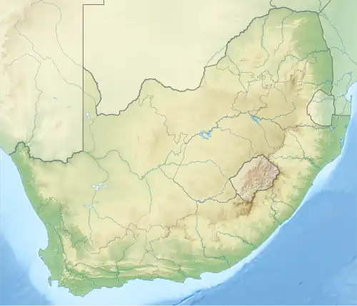 Location of the Boesman's River mouth | |
| Native name | Qhorha (Xhosa) |
| Location | |
| Country | South Africa |
| Province | Eastern Cape |
| Towns | Kenton-on-Sea |
| Physical characteristics | |
| Source | |
| • location | North of Kirkwood, Eastern Cape, South Africa |
| Mouth | Indian Ocean |
• location | Kenton-on-Sea, Eastern Cape, South Africa |
• coordinates | 33°41′26″S 26°39′52″E / 33.6906°S 26.6645°E |
• elevation | 0 m (0 ft) |
| Length | 230 km (140 mi) |
| Basin size | 2,670 km2 (1,030 sq mi) |
| Discharge | |
| • location | Kenton-on-Sea |
Boesmans River (Afrikaans: Boesmansrivier) is a river in the Eastern Cape, South Africa. It originates north of Kirkwood and runs east past Alicedale, before it turns and twists south and east to Kenton-on-Sea, where it mouths into the Indian Ocean through a tidal estuary only 1.7 km to the SW of the mouth of the Kariega River.[1]
Tributaries
Its tributaries include: Bega River, iCamtarha, Ncazala River, Komga River, New Years River, Steins River, Swartwaters River, Soutkloof River and Bou River.[2]
See also
References
- ^ Coastal dune dynamics and management
- ^ "Eastern Cape Estuaries Management Programme" (PDF). Archived from the original (PDF) on 10 March 2016. Retrieved 13 March 2012.
External links
- Boesmansriviermond
- Google Map of Boesman River's mouth at Geonames.org (cc-by)