Bojnord Airport
Bojnord Airport فرودگاه بجنورد | |||||||||||
|---|---|---|---|---|---|---|---|---|---|---|---|
| Summary | |||||||||||
| Airport type | Public | ||||||||||
| Owner | Government of Iran | ||||||||||
| Operator | Iran Airports Company | ||||||||||
| Serves | Bojnord, North Khorasan | ||||||||||
| Location | Bojnord, Iran | ||||||||||
| Elevation AMSL | 3,499 ft / 1,066 m | ||||||||||
| Coordinates | 37°29′35″N 57°18′30″E / 37.49306°N 57.30833°E | ||||||||||
| Website | bojnord.airport.ir | ||||||||||
| Map | |||||||||||
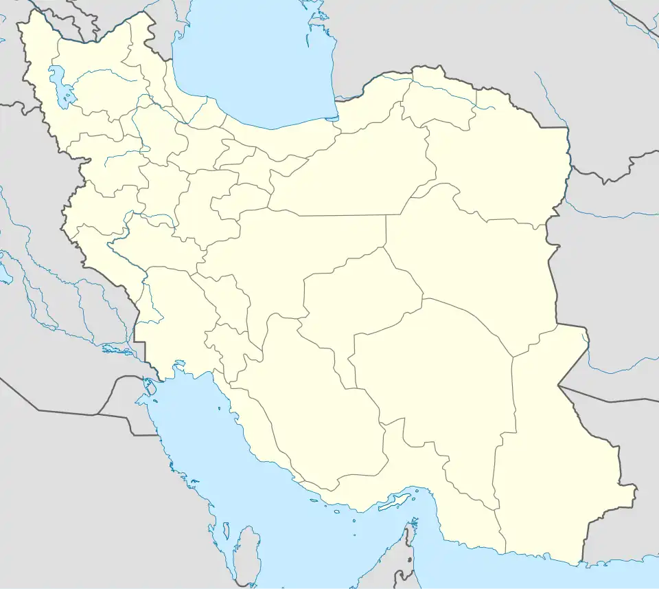 BJB Location of airport in Iran | |||||||||||
| Runways | |||||||||||
| |||||||||||
Bojnord Airport (Persian: فرودگاه بجنورد) (IATA: BJB, ICAO: OIMN) is an airport serving Bojnord[1] (also spelled Bojnourd or Bojnurd), the capital city of the North Khorasan province in Iran.[3]
Facilities
The airport is at an elevation of 3,499 feet (1,066 m) above mean sea level. It has one runway designated 07/25 with an asphalt surface measuring 4,420 by 45 metres (14,501 ft × 148 ft).[1] ILS (Instrument landing system) is installed at Bojnord Airport.
Airlines and destinations
| Airlines | Destinations |
|---|---|
| Iran Air | Tehran–Mehrabad |
| Iran Aseman Airlines | Tehran–Mehrabad[4] |
| Yazd Airways | Tehran–Mehrabad |
References
- ^ a b c Airport information for OIMN from DAFIF (effective November 2015)
- ^ Airport information for BJB at Great Circle Mapper. Source: DAFIF (effective October 2006).
- ^ "List of all airports in Iran". The Airport Authority. Retrieved 2019-01-02.
- ^ "New flights launched between Tehran and Bojnord". 18 November 2024.
External links
- Current weather for Bojnourd, Iran (OIMN) at NOAA/NWS
- Accident history for Bojnord Airport (BJB / OIMN) at Aviation Safety Network