Bordelonville, Louisiana
Bordelonville, Louisiana | |
|---|---|
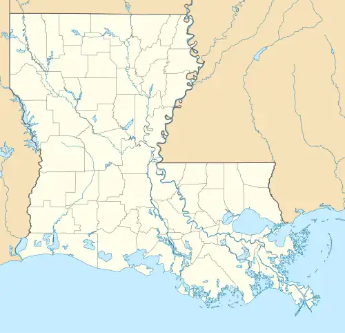 Bordelonville Location within the state of Louisiana | |
| Coordinates: 31°05′58″N 91°53′05″W / 31.09944°N 91.88472°W[1] | |
| Country | United States |
| State | Louisiana |
| Parishes | Avoyelles |
| Area | |
• Total | 4.35 sq mi (11.26 km2) |
| • Land | 4.35 sq mi (11.26 km2) |
| • Water | 0.00 sq mi (0.00 km2) |
| Elevation | 49 ft (15 m) |
| Population (2020) | |
• Total | 458 |
| • Density | 105.34/sq mi (40.67/km2) |
| Time zone | UTC-6 (Central (CST)) |
| • Summer (DST) | UTC-5 (CST) |
| ZIP code | 71320 |
| FIPS code | 22-08745 |
| GNIS feature ID | 2586668[1] |
Bordelonville is an unincorporated community and census-designated place (CDP) in Avoyelles Parish, Louisiana, United States.[1] As of the 2010 census, it had a population of 525.[3]
Bordelonville is located along Bayou des Glaises and Louisiana Highway 451, 17 miles (27 km) east of Marksville, the parish seat.
Demographics
| Census | Pop. | Note | %± |
|---|---|---|---|
| 2020 | 458 | — | |
| U.S. Decennial Census[4] | |||
Etymology
Bordelonville was named for Remi Bordelon, who was instrumental in getting the town a post office.[5]
References
- ^ a b c d U.S. Geological Survey Geographic Names Information System: Bordelonville, Louisiana
- ^ "2020 U.S. Gazetteer Files". United States Census Bureau. Retrieved March 20, 2022.
- ^ "Geographic Identifiers: 2010 Demographic Profile Data (G001): Bordelonville CDP, Louisiana". U.S. Census Bureau, American Factfinder. Archived from the original on February 12, 2020. Retrieved May 21, 2013.
- ^ "Census of Population and Housing". Census.gov. Retrieved June 4, 2016.
- ^ Leeper, Clare D'Artois (October 19, 2012). Louisiana Place Names: Popular, Unusual, and Forgotten Stories of Towns, Cities, Plantations, Bayous, and Even Some Cemeteries. LSU Press. p. 44. ISBN 978-0-8071-4740-5.
Municipalities and communities of Avoyelles Parish, Louisiana, United States | ||
|---|---|---|
| Cities | 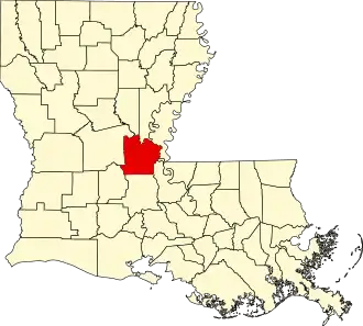 | |
| Towns | ||
| Villages | ||
| CDPs | ||
| Other communities | ||
| Indian reservation | ||