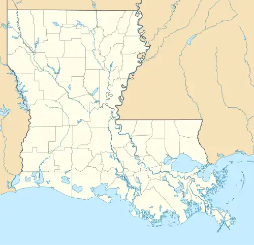
Branch, Louisiana
Branch, Louisiana | |
|---|---|
 Branch Location within the state of Louisiana | |
| Coordinates: 30°20′42″N 92°16′23″W / 30.34500°N 92.27306°W | |
| Country | United States |
| State | Louisiana |
| Parish | Acadia |
| Area | |
• Total | 7.38 sq mi (19.11 km2) |
| • Land | 7.36 sq mi (19.05 km2) |
| • Water | 0.02 sq mi (0.06 km2) |
| Elevation | 39 ft (12 m) |
| Population (2020) | |
• Total | 431 |
| • Density | 58.59/sq mi (22.62/km2) |
| Time zone | UTC-6 (Central (CST)) |
| • Summer (DST) | UTC-5 (CST) |
| ZIP code | 70516 |
| FIPS code | 22-09235 |
| GNIS feature ID | 2586670[2] |
Branch is an unincorporated community and census-designated place in Acadia Parish, Louisiana, United States. As of the 2010 census, it had a population of 388.[3]
Branch is located on LA-35 near the LA-365 intersection, approximately 5 miles (8 km) south of the town of Church Point and 8 miles (13 km) north of the city of Rayne.
Demographics
| Census | Pop. | Note | %± |
|---|---|---|---|
| 2020 | 431 | — | |
| U.S. Decennial Census[4] | |||
References
- ^ "2020 U.S. Gazetteer Files". United States Census Bureau. Retrieved March 20, 2022.
- ^ a b U.S. Geological Survey Geographic Names Information System: Branch, Louisiana
- ^ "Geographic Identifiers: 2010 Demographic Profile Data (G001): Branch CDP, Louisiana". U.S. Census Bureau, American Factfinder. Archived from the original on February 12, 2020. Retrieved May 14, 2013.
- ^ "Census of Population and Housing". Census.gov. Retrieved June 4, 2016.
