Bridgewater (CDP), Connecticut
Bridgewater, Connecticut | |
|---|---|
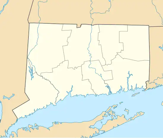
 Location within the Western Connecticut Planning Region and the state of Connecticut | |
 Bridgewater  Bridgewater | |
| Coordinates: 41°32′6″N 73°21′59″W / 41.53500°N 73.36639°W | |
| Country | |
| State | Connecticut |
| County | Litchfield |
| Town | Bridgewater |
| Area | |
• Total | 0.70 km2 (0.27 sq mi) |
| • Land | 0.70 km2 (0.27 sq mi) |
| • Water | 0.0 km2 (0.0 sq mi) |
| Elevation | 200 m (655 ft) |
| Time zone | UTC-5 (Eastern (EST)) |
| • Summer (DST) | UTC-4 (EDT) |
| ZIP Code | 06752 |
| Area codes | 860/959 |
| FIPS code | 09-08140 |
| GNIS feature ID | 2805976[2] |
Bridgewater is a census-designated place (CDP) comprising the populated center of the town of Bridgewater, Litchfield County, Connecticut, United States. It is in the north-central part of the town, around the intersection of Connecticut Routes 133 (Main Street) and 867 (Clapboard Road). It includes the Bridgewater Center Historic District.
Bridgewater was first listed as a CDP prior to the 2020 census.
References
- ^ "2020 U.S. Gazetteer Files – Connecticut". United States Census Bureau. Retrieved April 12, 2021.
- ^ a b "Bridgewater Census Designated Place". Geographic Names Information System. United States Geological Survey, United States Department of the Interior.
Municipalities and communities of Litchfield County, Connecticut, United States | ||
|---|---|---|
| Consolidated city |  | |
| Towns | ||
| Boroughs | ||
| CDPs |
| |
| Other communities | ||
| Indian reservation | ||
| Footnotes | ‡This populated place also has portions in an adjacent county or counties. | |