Briggsville, Wisconsin
Briggsville, Wisconsin | |
|---|---|
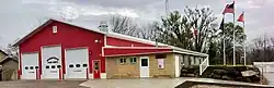 Douglas Town Hall in Briggsville | |
 Briggsville, Wisconsin  Briggsville, Wisconsin | |
| Coordinates: 43°39′18″N 89°35′07″W / 43.65500°N 89.58528°W | |
| Country | |
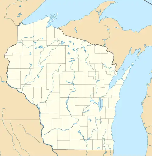
| State | |
| County | Marquette |
| Area | |
• Total | 4.99 km2 (1.928 sq mi) |
| • Land | 4.09 km2 (1.579 sq mi) |
| • Water | 0.90 km2 (0.349 sq mi) |
| Elevation | 246 m (807 ft) |
| Population (2020) | |
• Total | 316 |
| • Density | 63.3/km2 (163.9/sq mi) |
| Time zone | UTC-6 (Central (CST)) |
| • Summer (DST) | UTC-5 (CDT) |
| Area code | 608 |
| GNIS feature ID | 1562201[1] |
Briggsville is a census-designated place in the southwest corner of Marquette County, Wisconsin, United States. It is located on Wisconsin Highway 23 in the town of Douglas.[2] It uses ZIP code 53920.
Briggsville is the home of the National Shrine of Saint Philomena.[3]
Geography
Briggsville is located on the eastern side of Mason Lake. The Bonnie Oaks Historic District is a little over a mile to the east.
Notable people
- Arthur S. Champeny, United States Army officer
- Frank J. Kimball, legislator
- Margery Latimer, writer
- Willam Murphy, legislator
Gallery
-
 Looking at Briggsville on Highway 23
 -
 Looking at Briggsville on Highway 23
References
- ^ "Briggsville". Geographic Names Information System. United States Geological Survey, United States Department of the Interior.
- ^ "Briggsville, Wisconsin". Google Maps. Retrieved September 19, 2009.
- ^ The National Shrine of Saint Philomena
Municipalities and communities of Marquette County, Wisconsin, United States | ||
|---|---|---|
| City | 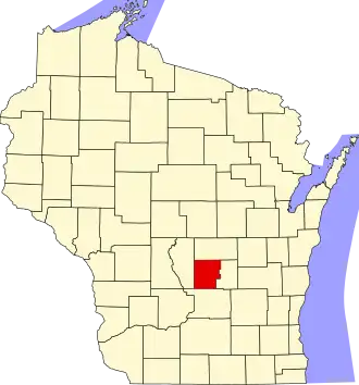 | |
| Villages | ||
| Towns | ||
| CDPs | ||
| Other communities | ||
43°39′18″N 89°35′07″W / 43.65500°N 89.58528°W