Brookfield Center, Connecticut
Brookfield Center, Connecticut | |
|---|---|
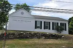 Town office building in Brookfield Center | |
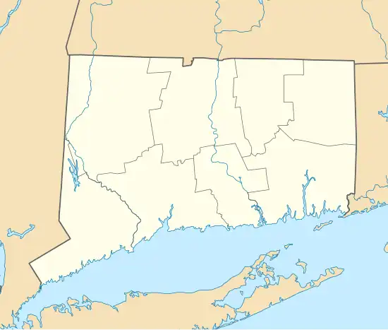
 Location within the Western Connecticut Planning Region and the state of Connecticut | |
 Brookfield Center  Brookfield Center | |
| Coordinates: 41°27′56″N 73°23′15″W / 41.46556°N 73.38750°W | |
| Country | |
| State | |
| County | Fairfield |
| Town | Brookfield |
| Area | |
• Total | 1.32 km2 (0.51 sq mi) |
| • Land | 1.32 km2 (0.51 sq mi) |
| • Water | 0.0 km2 (0.0 sq mi) |
| Elevation | 151 m (495 ft) |
| Time zone | UTC-5 (Eastern (EST)) |
| • Summer (DST) | UTC-4 (EDT) |
| ZIP Code | 06804 (Brookfield) |
| Area codes | 203/475 |
| FIPS code | 09-08910 |
| GNIS feature ID | 2805933[2] |
Brookfield Center is a census-designated place (CDP) in the town of Brookfield, Fairfield County, Connecticut, United States. It includes the 43-acre (17 ha) Brookfield Center Historic District around the intersection of Connecticut Routes 25 and 133, as well as surrounding residential neighborhoods.
Brookfield Center was first listed as a CDP prior to the 2020 census.
References
- ^ "2020 U.S. Gazetteer Files – Connecticut". United States Census Bureau. Retrieved April 12, 2021.
- ^ a b "Brookfield Center Census Designated Place". Geographic Names Information System. United States Geological Survey, United States Department of the Interior.
