Bruchterveld
Bruchterveld | |
|---|---|
 Field near Bruchterveld | |
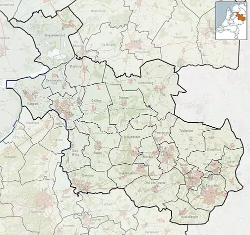 Bruchterveld Location in province of Overijssel in the Netherlands  Bruchterveld Bruchterveld (Netherlands) | |
| Coordinates: 52°31′48″N 6°39′39″E / 52.53000°N 6.66083°E | |
| Country | Netherlands |
| Province | Overijssel |
| Municipality | Hardenberg |
| Area | |
• Total | 10.59 km2 (4.09 sq mi) |
| Elevation | 10 m (30 ft) |
| Population (2021)[1] | |
• Total | 1,110 |
| • Density | 100/km2 (270/sq mi) |
| Time zone | UTC+1 (CET) |
| • Summer (DST) | UTC+2 (CEST) |
| Postal code | 7695[1] |
| Dialing code | 0524 |
Bruchterveld is a village near the town of Hardenberg, Overijssel, the Netherlands. There is a village house and a football association. It has three churches: Dutch reformed, Dutch reformed freed and Reformed.[3]
History
It was first mentioned in 1868 Bruchter Veld, and means "field belonging to Brucht".[4] It was a heath and peat area which was excavated during the 19th and early 20th century.[3]
References
- ^ a b c "Kerncijfers wijken en buurten 2021". Central Bureau of Statistics. Retrieved 14 March 2022.
- ^ "Postcodetool for 7695SB". Actueel Hoogtebestand Nederland (in Dutch). Het Waterschapshuis. Retrieved 14 March 2022.
- ^ a b "Bruchterveld". Plaatsengids (in Dutch). Retrieved 14 March 2022.
- ^ "Bruchterveld - (geografische naam)". Etymologiebank (in Dutch). Retrieved 14 March 2022.