Buckode
Buckode
Bocóid | |
|---|---|
Village | |
 The R281 at Buckode | |
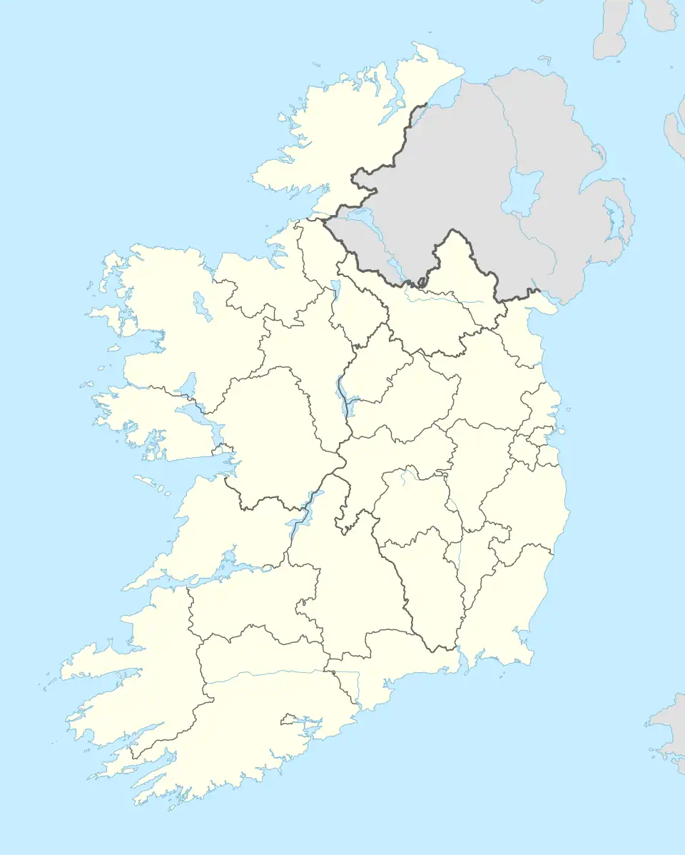 Buckode Location in Ireland | |
| Coordinates: 54°25′43″N 8°12′36″W / 54.4286°N 8.21°W | |
| Country | Ireland |
| Province | Connacht |
| County | County Leitrim |
| Elevation | 171 m (561 ft) |
| Time zone | UTC+0 (WET) |
| • Summer (DST) | UTC-1 (IST (WEST)) |
| Irish Grid Reference | G864533 |
Buckode (Irish: Bocóid)[1] is a small village and townland in County Leitrim, Ireland. It lies south of Lough Melvin on the R281 regional road.
References
- ^ "Buckode / Bocóid". logainm.ie. Irish Placenames Commission. Retrieved 29 January 2020.