Bulcote
| Bulcote | |
|---|---|
| Village and civil parish | |
 | |
Parish map | |
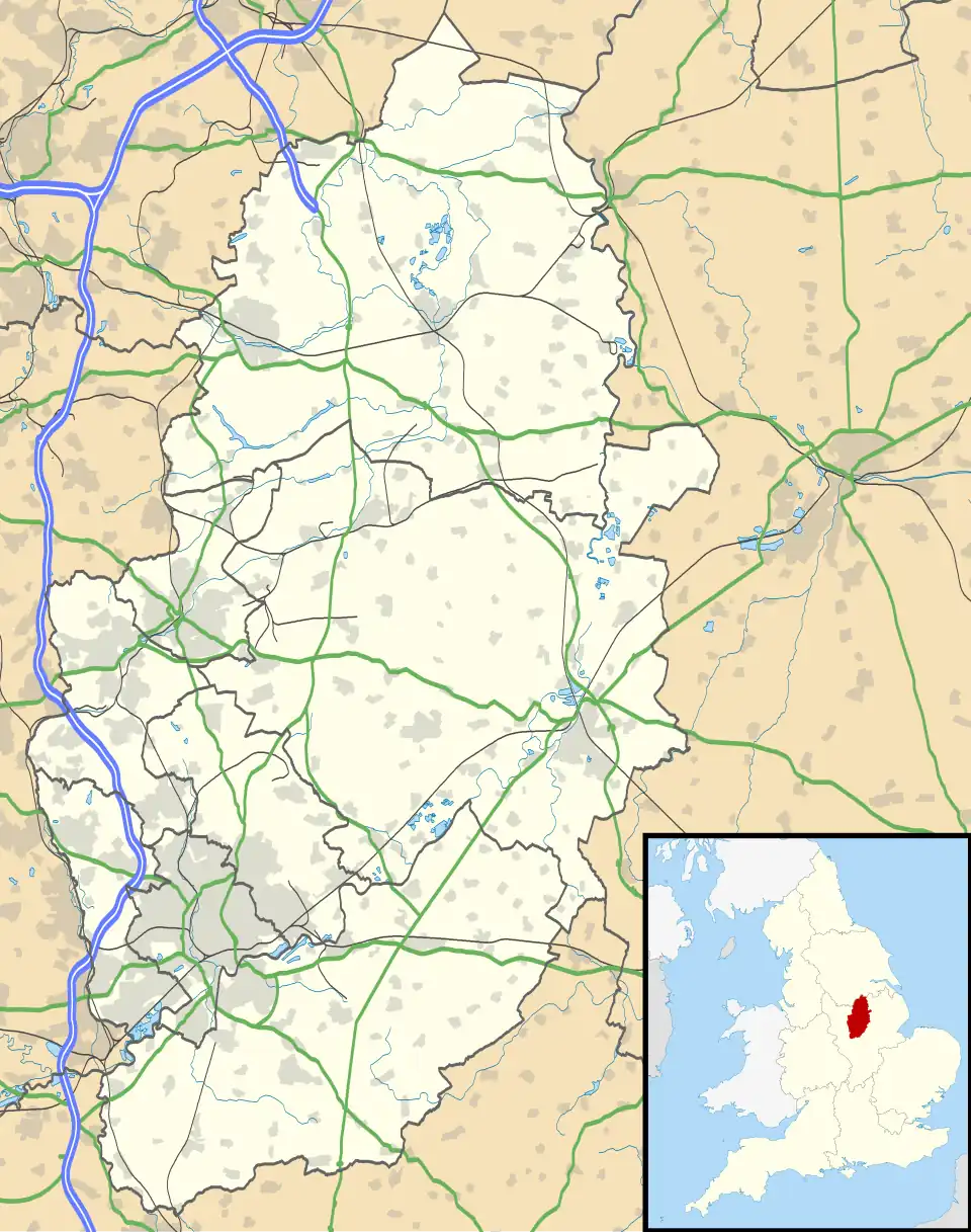 Bulcote Location within Nottinghamshire | |
| Area | 1.05 sq mi (2.7 km2) |
| Population | 272 (2021) |
| • Density | 259/sq mi (100/km2) |
| OS grid reference | SK 65768 44669 |
| • London | 110 mi (180 km) SSE |
| District | |
| Shire county | |
| Region | |
| Country | England |
| Sovereign state | United Kingdom |
| Post town | NOTTINGHAM |
| Postcode district | NG14 |
| Dialling code | 0115 |
| Police | Nottinghamshire |
| Fire | Nottinghamshire |
| Ambulance | East Midlands |
| UK Parliament | |
| Website | www |
Bulcote is a village and civil parish in the Newark and Sherwood district of Nottinghamshire, England.[1][2] According to the 2001 census it had a population of 330, reducing to 309 at the 2011 census,[3] and 272 at the 2021 census.[4] The village is on the fringe of the Greater Nottingham area, and is about 7 miles north-east of Nottingham city centre. Nearby places are Burton Joyce (to the southwest) and Lowdham (to the northeast).
See also
References
- ^ Ordnance Survey: Landranger map sheet 129 Nottingham & Loughborough (Melton Mowbray) (Map). Ordnance Survey. 2014. ISBN 9780319231623.
- ^ "Ordnance Survey: 1:50,000 Scale Gazetteer" (csv (download)). www.ordnancesurvey.co.uk. Ordnance Survey. 1 January 2016. Retrieved 30 January 2016.
- ^ "Civil Parish population 2011". Neighbourhood Statistics. Office for National Statistics. Archived from the original on 11 October 2016. Retrieved 6 April 2016.
- ^ UK Census (2021). "2021 Census Area Profile – Bulcote parish (E04007886)". Nomis. Office for National Statistics. Retrieved 31 January 2024.
External links
Wikimedia Commons has media related to Bulcote.
- Burton Joyce & Bulcote Local History Society (archived homepage)
- YouTube video - parish visit journal