Buramsan
| Buramsan | |
|---|---|
 | |
| Highest point | |
| Elevation | 507 m (1,663 ft) |
| Coordinates | 37°33′58″N 127°06′9″E / 37.56611°N 127.10250°E |
| Geography | |
 Buramsan South Korea 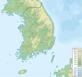 Buramsan Buramsan (South Korea) | |
| Climbing | |
| Easiest route | from Danggogae Station, Sanggye Station |
| Korean name | |
| Hangul | 불암산 |
| Hanja | 佛岩山 |
| RR | Buramsan |
| MR | Puramsan |
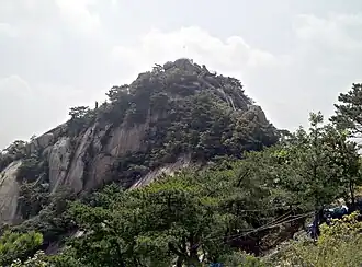
Buramsan (Korean: 불암산) is a mountain in South Korea. It sits on the boundary between Nowon District, Seoul and Namyangju in Gyeonggi Province. It has an elevation of 507 m (1,663 ft).[1] It also has a heliport at the second peak (420 m (1,378 ft)).
Gallery
-
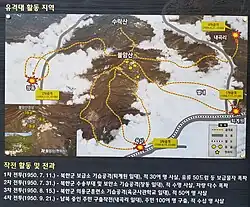 Signpost showing military action on the mountain during the Korean War
 -
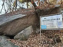 A cave on the mountain used during the Korean War