Burgh on Bain
| Burgh on Bain | |
|---|---|
 Church of St Helen, Burgh on Bain | |
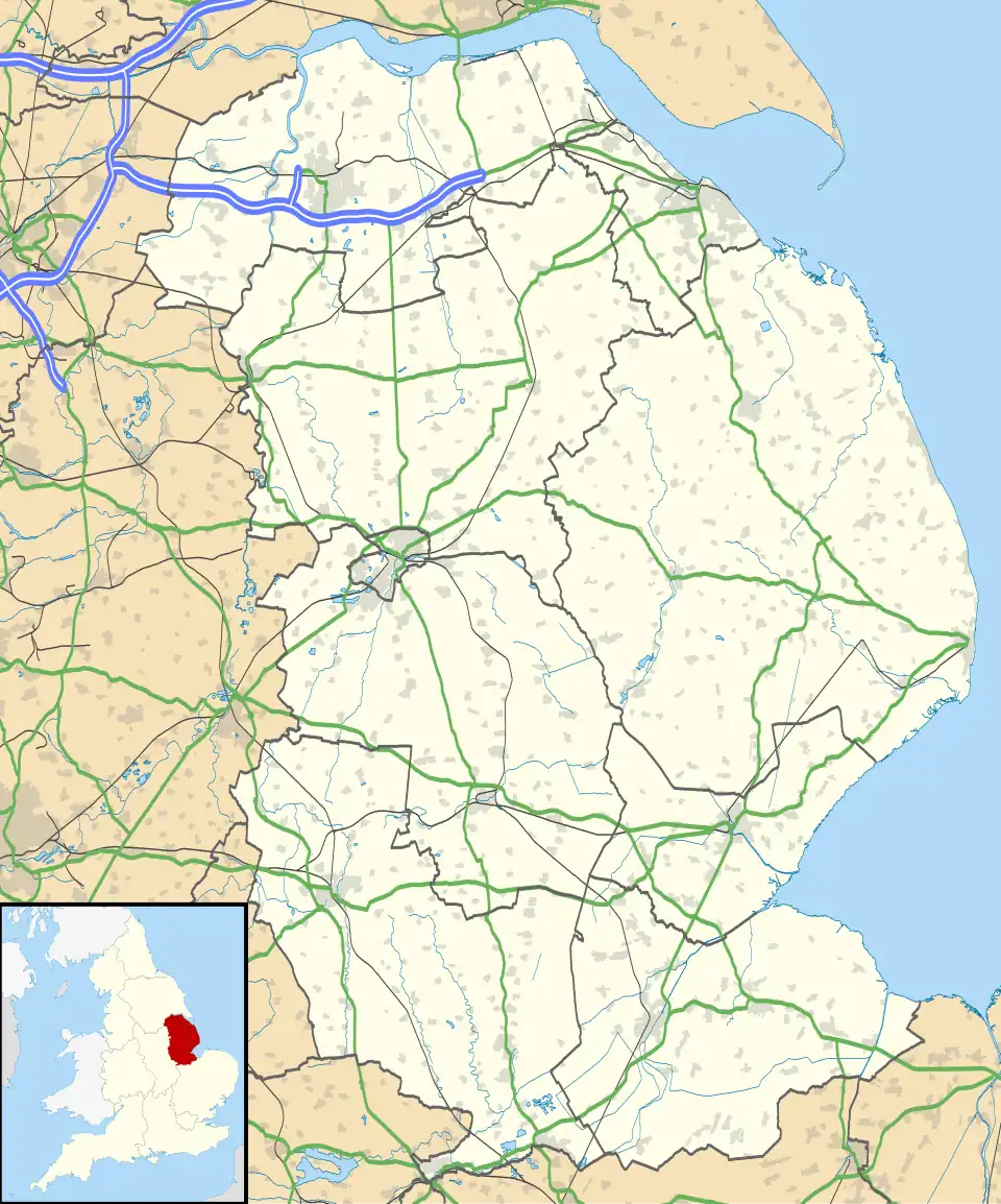 Burgh on Bain Location within Lincolnshire | |
| Population | 172 (Including Gayton le Wold and Grimblethorpe) 2011) |
| OS grid reference | TF222863 |
| • London | 130 mi (210 km) S |
| District | |
| Shire county | |
| Region | |
| Country | England |
| Sovereign state | United Kingdom |
| Post town | Market Rasen |
| Postcode district | LN8 |
| Police | Lincolnshire |
| Fire | Lincolnshire |
| Ambulance | East Midlands |
| UK Parliament | |
Burgh on Bain is a village and civil parish in the East Lindsey district of Lincolnshire, England. It is situated on the A157 road, 7 miles (11 km) west from Louth and 7 miles east from Market Rasen. According to the 2001 census it had a population of 114, increasing to 172 at the 2011 census.[1] The parish includes the hamlet of Girsby.
Burgh on Bain Grade II listed Anglican church is dedicated to St Helen.[2]
Toponymy
"Burgh" comes from "burh", meaning fortification, while Bain refers to the River Bain.[3]
Archaeology
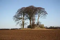
Located on a slope overlooking the Bain Valley is a Neolithic long barrow, marked on maps as a "Tumulus". On the smaller side compared to others found in Lincolnshire, the mound is 27 metres long by 14 metres wide. Today, it is obscured by a cluster of trees and has been burrowed by small animals.[4] In addition, there are several Bronze Age round barrows.[5]
Several artefacts have been discovered in Burgh on Bain's fields, such as a polished flint celt and several arrowheads on the grounds of Baxter Square Farm. These have been preserved in Lincoln Museum and Louth Museum.[6]
History
Burgh on Bain was recorded in the Domesday Book (1086) as part of the wapentake of Wraggoe.[7] Local Bishop's transcripts date back to 1561, while parish records begin in 1575.[3]

There was a manor at Girsby (a medieval settlement),[8] which was owned by the Fox family in the 19th century. It was abandoned before being demolished in the mid 20th century and replaced with a new house.[9]
One of Burgh on Bain's Bronze Age round barrows was excavated when RAF Ludford Magna was built in 1942.[10] From the late 1950s to 1991, another round barrow was used as a Royal Observer Corps monitoring post.[5]
References
- ^ "Parish population 2011". Neighbourhood Statistics. Office for National Statistics. Retrieved 20 August 2015.
- ^ Historic England. "Church of St Helen (1359948)". National Heritage List for England. Retrieved 3 July 2011.
- ^ a b "Burgh on Bain, Lincolnshire". Genuki. Retrieved 23 October 2024.
- ^ "Burgh on Bain Long Barrow". Stone Circles. Retrieved 23 October 2024.
- ^ a b "Burgh on Bain Round Barrows, Lincolnshire". Stone Circles. Retrieved 23 October 2024.
- ^ "Monument record MLI40575 - Neolithic/Bronze Age artefacts found, Burgh on Bain". Lincolnshire Heritage Explorer. Retrieved 23 October 2024.
- ^ "Burgh[-on-Bain]". Open Domesday. Retrieved 23 October 2024.
- ^ "Monument record MLI84523 - Girsby medieval settlement, Burgh on Bain". Lincolnshire Heritage Explorer. Retrieved 23 October 2024.
- ^ "Girsby Manor". Lost Heritage. Retrieved 23 October 2024.
- ^ "Monument record MLI40577 - Site of a round barrow, Burgh on Bain". Lincolnshire Heritage Explorer. Retrieved 23 October 2024.
External links
 Media related to Burgh on Bain at Wikimedia Commons