Burj Islam
Burj Islam
برج اسلام | |
|---|---|
Village | |
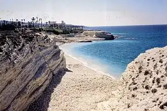 Burj Islam beach | |
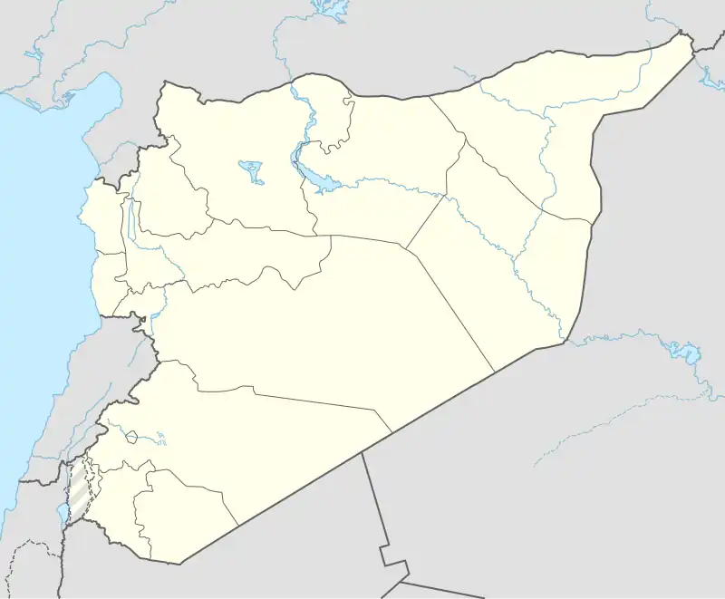 Burj Islam Location in Syria | |
| Coordinates: 35°41′N 35°48′E / 35.683°N 35.800°E | |
| Country | |
| Governorate | Latakia Governorate |
| District | Latakia District |
| Nahiyah | Ayn al-Bayda |
| Population (2004) | |
• Total | 5,652 |
| Time zone | UTC+2 (EET) |
| • Summer (DST) | UTC+3 (EEST) |
| Area code | 41 |
| Climate | Csa |
Burj Islam (Arabic: برج اسلام) is a village in northwestern Syria, administratively part of the Latakia Governorate, located north of Latakia. Nearby localities include Salib al-Turkman to the north, al-Shabatliyah to the northeast, Ayn al-Bayda to the east and al-Shamiyah to the south. According to the Syria Central Bureau of Statistics, the village had a population of 5,652 in the 2004 census.[1] Its inhabitants are predominantly Sunni Muslims from Turkmen ethnicity.[2]
The village is a popular summer resort with a white rock beach.[3]
References
- ^ General Census of Population and Housing 2004 Archived 2012-12-04 at archive.today. Syria Central Bureau of Statistics (CBS). Latakia Governorate. (in Arabic)
- ^ Blanche, Fabrice (23 September 2015). "Latakia is Assad's Achilles Heel". The Washington Institute for Near East Policy.
- ^ "Thorn Tree - beaches in Syria".
| ||||||||||||||||||||
| ||||||||||||||||||||
| ||||||||||||||||||||
| ||||||||||||||||||||