Burke Landing, Mississippi
Burke Landing | |
|---|---|
 Burke Landing  Burke Landing | |
| Coordinates: 34°16′13″N 90°47′18″W / 34.27028°N 90.78833°W | |
| Country | United States |
| State | Mississippi |
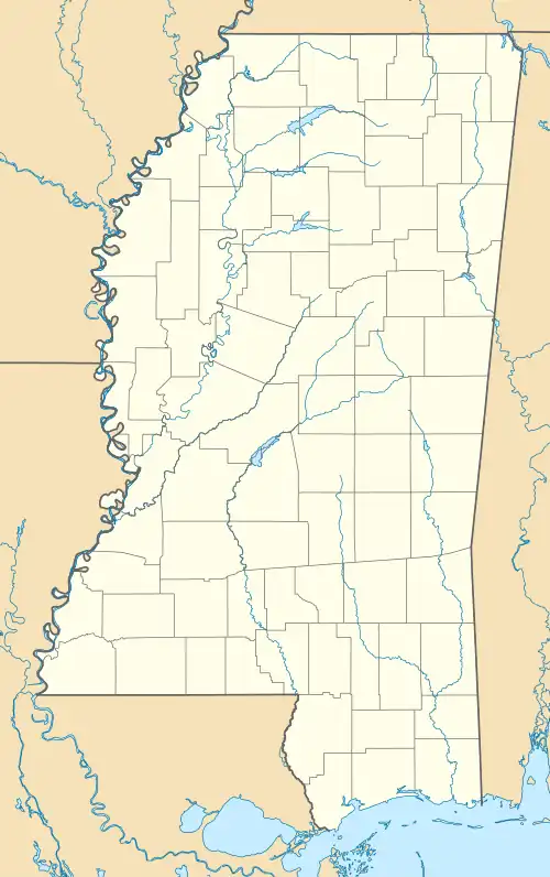
| County | Coahoma |
| Elevation | 151 ft (46 m) |
| Time zone | UTC-6 (Central (CST)) |
| • Summer (DST) | UTC-5 (CDT) |
| GNIS feature ID | 691738[1] |
Burke Landing is an unincorporated community located on the Mississippi River in Coahoma County, Mississippi, United States.
Burke Landing was formerly home to two churches, a grist mill, and sawmill.[2]
The settlement appeared on a map from 1862.[3]
In 2009, an EF2 tornado touched down in Burke Landing, causing some structural damage.[4]
References
- ^ U.S. Geological Survey Geographic Names Information System: Burke Landing, Mississippi
- ^ A Complete Pronouncing Gazetteer, Or, Geographical Dictionary of the World: Containing Notices of Over One Hundred and Twenty-five Thousand Places : with Recent and Authentic Information Respecting the Countries, Islands, Rivers, Mountains, Cities, Towns, Etc., in Every Portion of the Globe. J.B. Lippincott & Company. 1880. p. 327.
- ^ "Lloyd's Map of the Lower Mississippi River from St. Louis to the Gulf of Mexico". J.T. Lloyd. 1862.
- ^ "Event Information". National Weather Service. July 30, 2009.
Municipalities and communities of Coahoma County, Mississippi, United States | ||
|---|---|---|
| City |  | |
| Towns | ||
| CDPs | ||
| Other communities | ||
| Ghost towns | ||
| Footnotes | ‡This populated place also has portions in an adjacent county or counties | |