Burntwood, Kansas
Burntwood, Kansas | |
|---|---|
 KDOT map of Rawlins County (legend) | |
 Burntwood  Burntwood | |
| Coordinates: 39°58′37″N 101°18′00″W / 39.97694°N 101.30000°W | |
| Country | United States |
| State | Kansas |
| County | Rawlins |
| Elevation | 3,261 ft (994 m) |
| Population | |
• Total | 0 |
| Time zone | UTC-6 (CST) |
| • Summer (DST) | UTC-5 (CDT) |
| Area code | 785 |
| GNIS ID | 482481[1] |
Burntwood is a ghost town in Rawlins County, Kansas, United States.
History
Burntwood was issued a post office in 1886. The post office was discontinued in 1899, reissued in 1903, then permanently discontinued in 1907.[2]
References
- ^ "US Board on Geographic Names". United States Geological Survey. July 1, 1984. Retrieved December 30, 2017.
- ^ "Kansas Post Offices, 1828-1961". Kansas Historical Society. Retrieved January 5, 2018.
Further reading
Municipalities and communities of Rawlins County, Kansas, United States | ||
|---|---|---|
| Cities | 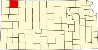 | |
| CDPs | ||
| Unincorporated communities | ||
| Ghost towns | ||
| Townships |
| |