Byssa (river)
| Byssa Бысса | |
|---|---|
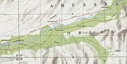 Map section of the Selemdzha and Byssa river confluence. | |
 Mouth location in Amur Oblast, Russia | |
| Location | |
| Country | Russia |
| Physical characteristics | |
| Source | |
| • location | Turan Range |
| • coordinates | 52°32′55″N 132°11′10″E / 52.54861°N 132.18611°E |
| • elevation | 800 m (2,600 ft) |
| Mouth | Selemdzha |
• location | Near Byssa |
• coordinates | 52°25′03″N 130°33′56″E / 52.41750°N 130.56556°E |
• elevation | 239 m (784 ft) |
| Length | 235 km (146 mi) |
| Basin size | 6,370 km2 (2,460 sq mi) |
| Basin features | |
| Progression | Selemdzha → Zeya→ Amur→ Sea of Okhotsk |
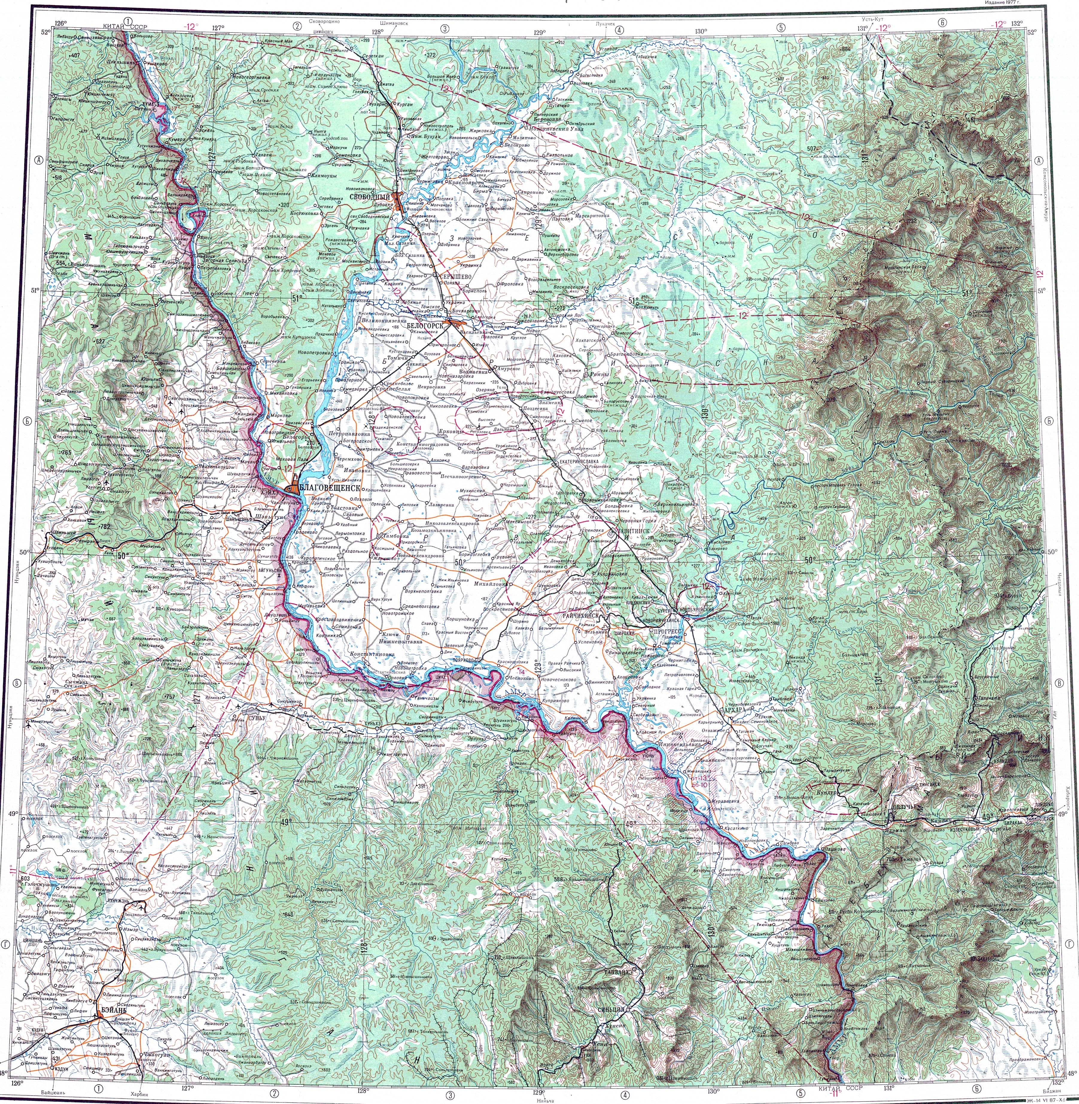
The Byssa (Russian: Бысса) is a river in Selemdzhinsky District, Amur Oblast, Russia. It is the third longest tributary of the Selemdzha, with a length of 235 kilometres (146 mi)[1] and with 6,370 square kilometres (2,460 sq mi) the third in drainage basin area, after the Orlovka. The name of the river originated in the Evenki language.[2]
The river flows across a largely uninhabited area except for Byssa and Fevralsk villages in the area of its mouth. South of Fevralsk the river is crossed by the Far Eastern Railway line.[3]
Course
The Byssa is a left tributary of the Selemdzha. It has its origin at an elevation of about 800 m (2,600 ft) in the northwestern slopes of the Turan Range. The river flows in a roughly southwestern direction with rapids and a winding channel in its upper reaches. After leaving the mountainous area it enters a wide swampy valley where it meanders slowly all along its middle and lower course.[1][4] Finally it meets the left bank of the Selemdzha 206 kilometres (128 mi) from its mouth in the Zeya.[1]
The main tributaries of the Byssa are the 73 kilometres (45 mi) long Iga from the left and the Sinnikan from the right.[4] There are hot springs in the middle basin of the river where the water reaches a temperature of 43 °C (109 °F).[5]