Bzura
| Bzura | |
|---|---|
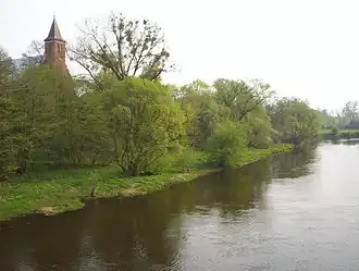 The Bzura in Kozłów Biskupi 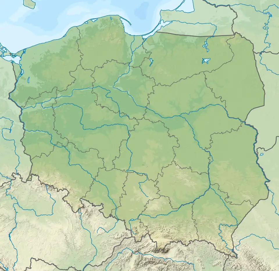 Bzura (river mouth) Mouth of the Bzura on the map of Poland | |
| Location | |
| Country | Poland |
| Physical characteristics | |
| Mouth | |
• location | Vistula |
• coordinates | 52°22′28″N 20°12′05″E / 52.3744°N 20.2013°E |
| Length | 173 km (107 mi) |
| Basin size | 7,764 km2 (2,998 sq mi) |
| Discharge | |
| • average | 28.6 m3/s (1,010 cu ft/s) |
| Basin features | |
| Progression | Vistula→ Baltic Sea |
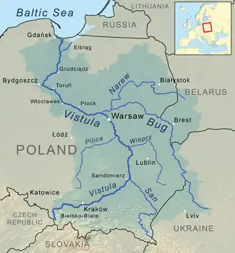
The Bzura is a river in central Poland. A tributary of the Vistula river (in Wyszogród), the Bzura is 173 kilometres long and has a basin area of 7,764 km2.[1] During the Second World War, Polish forces made a major stand here against the Wehrmacht in an attempt to halt the German advance on Warsaw (Battle of the Bzura).
Towns and townships
Eastern tributaries
- Linda
- Moszczenica
- Mroga
- Struga
- Bobrówka
- Skierniewka
- Rawka
- Pisia
- Sucha
- Utrata
- Łasica
Western tributaries
- Witonia
- Ochnia
- Słudwia
See also
References
Tributaries of the Vistula River | ||
|---|---|---|
| Forming rivers |
|  |
| Main tributaries of the left bank | ||
| Main tributaries of the right bank |
| |
| Distributary |
| |
| Vistula | |
|---|---|
| Odra | |
| Vistula Lagoon | |
| Baltic Sea | |