Calcott, Kent
| Calcott | |
|---|---|
 Calcott Manor | |
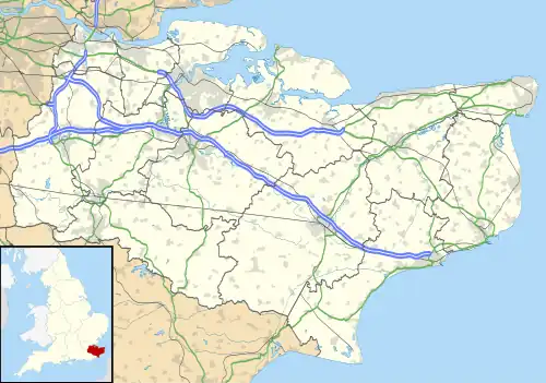 Calcott Location within Kent | |
| Civil parish | |
| District | |
| Shire county | |
| Region | |
| Country | England |
| Sovereign state | United Kingdom |
| Post town | Canterbury |
| Postcode district | CT3 |
| Police | Kent |
| Fire | Kent |
| Ambulance | South East Coast |
| UK Parliament | |
Calcott is a hamlet in the civil parish of Sturry, in the Canterbury district of the county of Kent, England. It lies on the A291 road, about 1+1⁄2 miles (2.4 km) north of Sturry and 3 miles (5 km) south of Herne Bay.[1]
51°19′16″N 1°07′07″E / 51.3212°N 1.1187°E
References
- ^ "Where is Calcott? Calcott on a map". www.getthedata.com. Retrieved 19 December 2021.