Candelaria, Valle del Cauca
Candelaria | |
|---|---|
Municipality and town | |
 | |
.svg.png) Flag | |
 Location of the municipality and town of Candelaria, Valle del Cauca in the Valle del Cauca Department of Colombia. | |
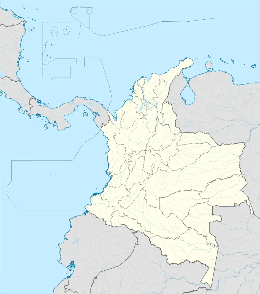 Candelaria Location in Colombia | |
| Coordinates: 3°24′N 76°23′W / 3.400°N 76.383°W | |
| Country | |
| Department | Valle del Cauca Department |
| Area | |
• Municipality and town | 296.5 km2 (114.5 sq mi) |
| • Urban | 1.25 km2 (0.48 sq mi) |
| Population (2020 est.)[1] | |
• Municipality and town | 94,211 |
| • Density | 320/km2 (820/sq mi) |
| • Urban | 23,940 |
| • Urban density | 19,000/km2 (50,000/sq mi) |
| Time zone | UTC-5 (Colombia Standard Time) |
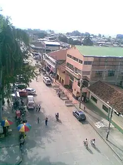
Candelaria is a town and municipality located in the Department of Valle del Cauca, Colombia.
Candelaria in Colombia, is part of the metropolitan area of the city of Cali,[2] along with the municipalities adjacent to it. Candelaria is located 28 km from Cali.[3]
It has small villages such as El Tiple.
References
- ^ Citypopulation.de Population of Candelaria municipality
- ^ Jaramillo, Ciro. "ANÁLISIS DE ACCESIBILIDAD VIAL PARA EL ÁREA METROPOLITANA DE SANTIAGO DE CALI, COLOMBIA" (PDF). Archived from the original (PDF) on 2014-02-01. Retrieved 2019-03-19.
- ^ "Official archives of the Cali Mayor's Office for Candelaria". Archived from the original on 2016-01-21. Retrieved 2019-03-19.
Wikimedia Commons has media related to Candelaria, Valle del Cauca.