Canyon, Kenora District
Canyon | |
|---|---|
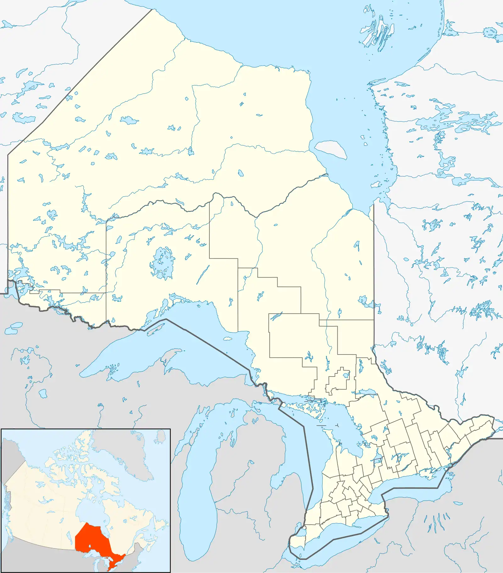 Canyon Location of Canyon in Ontario | |
| Coordinates: 49°58′49″N 93°44′32″W / 49.98028°N 93.74222°W | |
| Country | Canada |
| Province | Ontario |
| Region | Northwestern Ontario |
| District | Kenora |
| Part | Kenora, Unorganized |
| Elevation | 376 m (1,234 ft) |
| Time zone | UTC-6 (Central Time Zone) |
| • Summer (DST) | UTC-5 (Central Time Zone) |
| Postal code FSA | P0X |
| Area code | 807 |
Canyon is an unincorporated place on Canyon Lake on the Canyon River in Unorganized Kenora District in northwestern Ontario, Canada.[1]
It lies on the Canadian National Railway transcontinental main line,[2] and Canyon station is served by Via Rail transcontinental Canadian train.
| Preceding station | Following station | |||
|---|---|---|---|---|
| Farlane toward Vancouver
|
The Canadian | Red Lake Road toward Toronto
| ||
| Former services | ||||
| Preceding station | Canadian National Railway | Following station | ||
| Favel toward Vancouver
|
Main Line | McIntosh toward Montreal
| ||
References
- ^ "Canyon". Geographical Names Data Base. Natural Resources Canada. Retrieved 2011-07-10.
- ^ Map 13 (PDF) (Map). 1 : 1,600,000. Official road map of Ontario. Ministry of Transportation of Ontario. 2010-01-01. Retrieved 2011-07-10.