Cape Howe Marine National Park
| Cape Howe Marine National Park Victoria | |
|---|---|
 Cape Howe Marine National Park | |
| Nearest town or city | Mallacoota |
| Coordinates | 37°32′S 149°57′E / 37.533°S 149.950°E |
| Established | 16 November 2002 |
| Area | 40.5 km2 (15.6 sq mi) |
| Managing authorities | Parks Victoria |
| Website | Cape Howe Marine National Park |
| See also | Protected areas of Victoria |
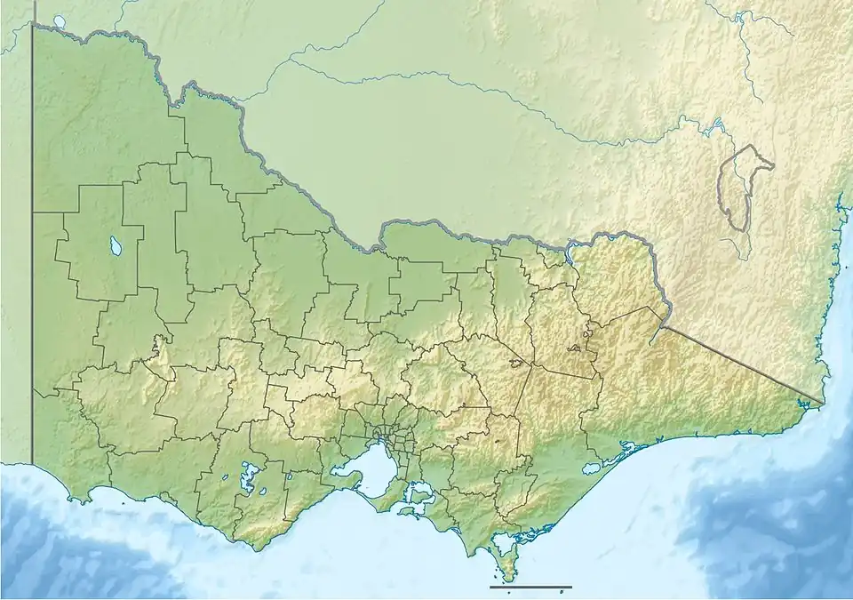
The Cape Howe Marine National Park is a protected marine national park situated off eastern Gippsland in the far eastern tip of Victoria, Australia.[1][2] The 4,050-hectare (10,000-acre) marine park extends from just east of Gabo Island to Cape Howe and the New South Wales border, and is adjacent to Croajingolong National Park.
See also
References
- ^ "Cape Howe Marine National Park", Parks Victoria, Government of Victoria, 2010, archived from the original on 21 August 2019, retrieved 4 February 2012
- ^ "Cape Howe Marine National Park visitor guide" (PDF), Parks Victoria (PDF), Government of Victoria, November 2011, archived from the original (PDF) on 4 March 2016, retrieved 4 February 2012
Marine and coastal parks of Victoria, Australia | ||
|---|---|---|
| Marine and coastal parks |
| |
| Marine national parks | ||
| Marine sanctuaries |
| |