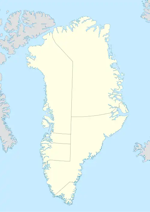
Cape Robertson, Greenland
Cape Robertson
Kap Robertson, Tuloriok | |
|---|---|
 Cape Robertson | |
| Coordinates: 77°47′N 71°25′W / 77.783°N 71.417°W | |
| Location | NW Greenland |
| Offshore water bodies | Murchison Sound Baffin Bay |
| Area | |
| • Total | Arctic |
| Elevation | 4 metres (13 feet) |
Cape Robertson (Danish: Kap Robertson), also known as Tuloriok, is a headland in Northwest Greenland, Avannaata municipality.
Geography
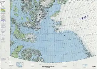
Cape Robertson is located in the northern shore of Murchison Sound, Baffin Bay.[1] it rises at the end of a promontory, south of the fjord where the Morris Jesup Glacier has its terminus, east of the mouth of Robertson Fjord and west of MacCormick Fjord.[2] The cape has an elevation of 4 meters (13 feet).
Cape Robertson was named after Dr. John Robertson, a surgeon on HMS Terror, one of the two lost ships seeking the Northwest Passage on the British expedition of 1845. [3]
 |
.jpg) |
References
- ^ "Kap Robertson". Mapcarta. Retrieved 29 May 2019.
- ^ Prostar Sailing Directions 2005 Greenland and Iceland Enroute, p. 88
- ^ richardcedwards (2023-09-06). "Robertson Bay, Greenland". Where in the world is Riccardo?. Retrieved 2025-01-10.