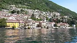
Carate Urio
Carate Urio
Caraa Uri (Lombard) | |
|---|---|
| Comune di Carate Urio | |
 | |
 Coat of arms | |
Location of Carate Urio | |
 Carate Urio Location of Carate Urio in Italy 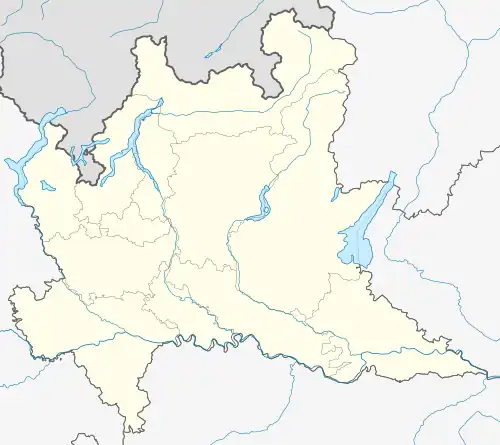 Carate Urio Carate Urio (Lombardy) | |
| Coordinates: 45°52′N 9°7′E / 45.867°N 9.117°E | |
| Country | Italy |
| Region | Lombardy |
| Province | Como (CO) |
| Frazioni | Cavadino, Greppone, Pangino, Riva, Olzavino, Lestresio |
| Government | |
| • Mayor | Paola Pepe |
| Area | |
• Total | 6.9 km2 (2.7 sq mi) |
| Elevation | 199 m (653 ft) |
| Population (31 December 2010)[2] | |
• Total | 1,216 |
| • Density | 180/km2 (460/sq mi) |
| Demonym | Caratesi |
| Time zone | UTC+1 (CET) |
| • Summer (DST) | UTC+2 (CEST) |
| Postal code | 22010 |
| Dialing code | 031 |
Carate Urio (Comasco: Caraa Uri [kaˌraː ˈyːri]) is a comune (municipality) in the Province of Como in the Italian region Lombardy, located about 45 kilometres (28 mi) north of Milan and about 6 kilometres (4 mi) northeast of Como.
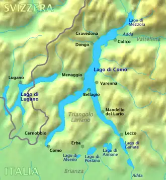
Founded in 1927 by the merger of Carate Lario and Urio, Carate Urio borders the following municipalities: Brienno, Faggeto Lario, Laglio, Moltrasio, Schignano, Torno.
References
- ^ "Superficie di Comuni Province e Regioni italiane al 9 ottobre 2011". Italian National Institute of Statistics. Retrieved 16 March 2019.
- ^ All demographics and other statistics: Italian statistical institute Istat.
| Settlements |
|  |
|---|---|---|
| Islands | ||
| Rivers | ||
| Valleys | ||
| Mountains | ||
| Landmarks | ||
| Films | ||
| People | ||