Carimagua Airport
Carimagua Airport | |||||||||||
|---|---|---|---|---|---|---|---|---|---|---|---|
| Summary | |||||||||||
| Airport type | Public | ||||||||||
| Serves | Carimagua, Colombia | ||||||||||
| Elevation AMSL | 700 ft / 213 m | ||||||||||
| Coordinates | 4°34′00″N 71°20′10″W / 4.56667°N 71.33611°W | ||||||||||
| Map | |||||||||||
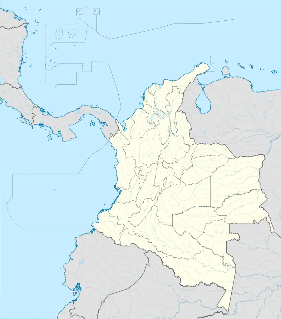 CCO Location of the airport in Colombia | |||||||||||
| Runways | |||||||||||
| |||||||||||
Carimagua Airport (IATA: CCO, ICAO: SKCI) is an airport serving the village of Carimagua in the Meta Department of Colombia. The runway is 24 kilometres (15 mi) south of Orocué, the nearest town.
The Carimauga non-directional beacon (Ident: CRG) is located on the field.[3]
See also
References
- ^ Airport information for CCO at Great Circle Mapper.
- ^ Google Maps - Carimagua
- ^ Carimagua NDB
External links