Carr Vale
| Carr Vale | |
|---|---|
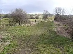 Footpath view near Carr Vale. | |
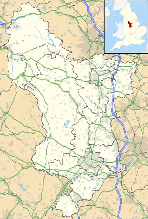 Carr Vale Location within Derbyshire | |
| OS grid reference | SK466698 |
| District | |
| Shire county | |
| Region | |
| Country | England |
| Sovereign state | United Kingdom |
| Post town | CHESTERFIELD |
| Postcode district | S44 |
| Dialling code | 01246 |
| Police | Derbyshire |
| Fire | Derbyshire |
| Ambulance | East Midlands |
| UK Parliament | |
Carr Vale is a small village attached to the New Bolsover model village, Bolsover, Derbyshire, England.[1][2] It is under Bolsover town.
It was begun in the late nineteenth century to house miners of the Bolsover Mining Company.
References
- ^ Ordnance Survey: Landranger map sheet 120 Mansfield & Worksop (Sherwood Forest) (Map). Ordnance Survey. 2014. ISBN 9780319242100.
- ^ "Ordnance Survey: 1:50,000 Scale Gazetteer" (csv (download)). www.ordnancesurvey.co.uk. Ordnance Survey. 1 January 2016. Retrieved 30 January 2016.
External links
![]() Media related to Carr Vale at Wikimedia Commons
Media related to Carr Vale at Wikimedia Commons