Carthamartha
| Carthamartha | |
|---|---|
 | |
 Carthamartha Location within Cornwall | |
| OS grid reference | SX366778 |
| Civil parish | |
| Shire county | |
| Region | |
| Country | England |
| Sovereign state | United Kingdom |
| Post town | LAUNCESTON |
| Postcode district | PL15 |
| Dialling code | 01566 |
| UK Parliament | |
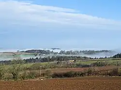
Carthamartha is a hamlet in the civil parish of Lezant, in the Tamar valley 1 mile (1.6 km) east of Treburley and 5 miles (8.0 km) south of Launceston in Cornwall, England, UK.[1] It is in the civil parish of Lezant.
References
- ^ "Magic Map Application". DEFRA. Retrieved 10 January 2016.